|


| |
Maps of
the Shipyard Area
Early charts are
from the website of the Portland Marine
Society.
Topographic Maps are adapted from the collection at UNH
Dimond Library, Documents Department & Data Center's Historic USGS Maps of
New England and New York
Click on any map for a larger
version which will open in a new window.
 |
1822 An
early chart of Portland Harbour. Note Portland
Head Light in the bottom near the middle.
|
 |
1825 This
chart made by Capt. Lemuel Moody, shows development in
Portland directly across the harbor from what was then
Cape Elizabeth. Note the mud flats that will play
an important part in the shipyard development.
|
 |
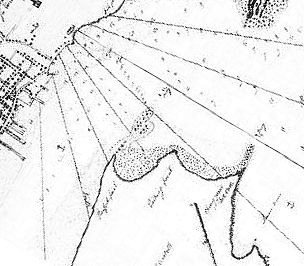
1893
The area southwest of the base of the Portland
Breakwater Light and Spring Point is where the
yards would be built. |
 |
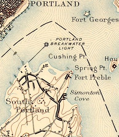
1916
Notice the buildup of
homes in the area. Also just off Spring
Point there is now a lighthouse. |
 |
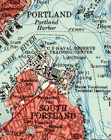
1941
Just prior to the building of the
shipyards. Major changes will soon take
place in this map. |
 |
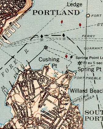
1957
Many of the buildings and docks are still
evident. Note that Spring Point Light has
now been connected to the mainland. |
|

|
1990
The area still shows some of the buildings, but
the drydocks of the East Yard are radically
altered. Today the area is a marina. |
The
New England Shipbuilding Company
at its height, 1943

Adapted from cascobay.com's article, Liberty
Ship carries proud heritage, by Herb Adams. |