![]() Old Erie County Area Undated Maps - found and submitted by Beth Simmons.
[New: 1/24/09][BSI28]
Old Erie County Area Undated Maps - found and submitted by Beth Simmons.
[New: 1/24/09][BSI28]
![]() Index page for 1896 Township Maps from S.B.Nelson, History of Erie
Co. [sys70]
Index page for 1896 Township Maps from S.B.Nelson, History of Erie
Co. [sys70]
![]() Township Plat Maps - very
large and slow to load but detail property holdings.
Township Plat Maps - very
large and slow to load but detail property holdings.
1876 Cherry Hill Plat Map [12/23/05][DMI05]
1876 Concord Township Plat Map [12/23/05][DMI09]
1876 Elk Creek Township Plat Map [New: 09/14/08][BT01]
1876 Franklin Corners Plat Map [12/23/05][DMI04]
Greenfield Township 1876 - .8MB - about 6 minutes to load at 45.5 - alternatively see the Greenfield Township pages for smaller extracts. [sys98]
LeBoeuf Township Plat Map [2/24/03][BSI17]
Springfield Township 3 Plat Maps [New: 09/14/08][BT02]
Springfield (Town) Plat Map [New: 11/01/08][BT05]
1876 Union Township Plat Map [12/23/05][DMI06]
1876 Union City Plat Map [12/23/05][DMI07]
1876 Wattsburg Plat Map [12/23/05][DMI10]
1876 Wayne Township Plat Map [12/23/05][DMI08]
West Springfield (Town) Plat Map [New: 11/01/08][BT04]
All of the following are off site links - Use your browser back button to return to this index page.
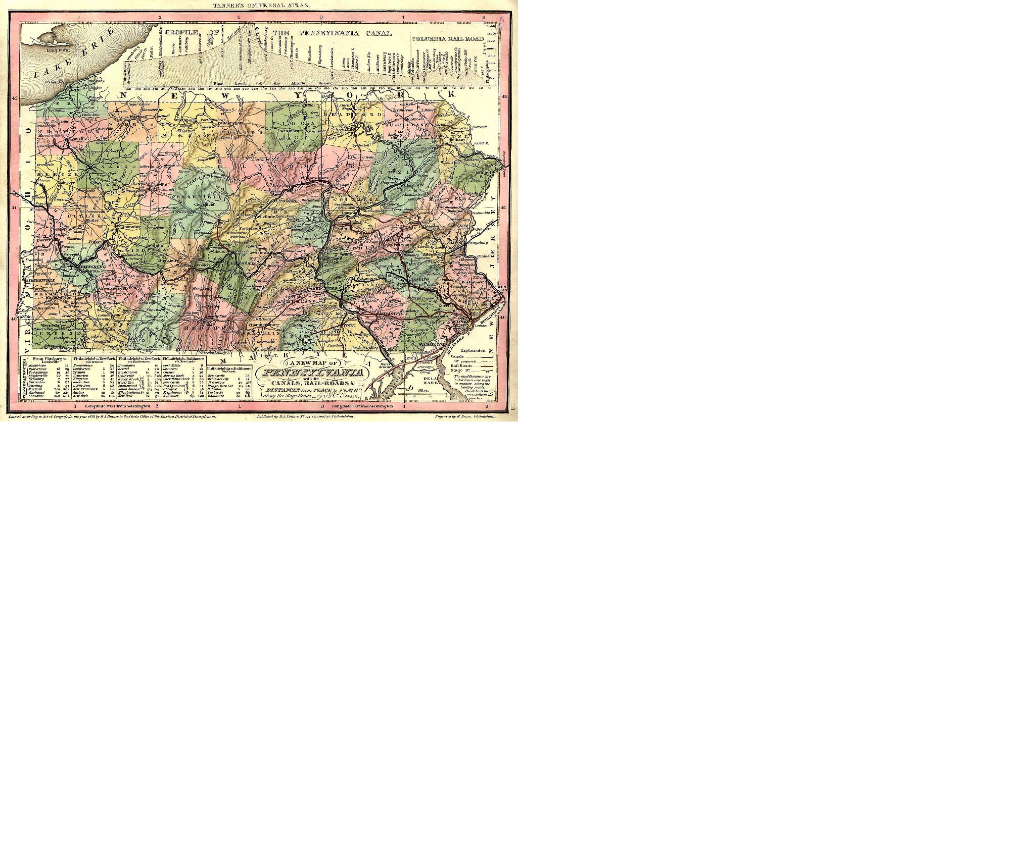
![]() 1836 Pennsylvania Map- This
is a huge file of a beautiful map. [OFF-SITE Connection
- Use your Back button to return to
these pages!]
1836 Pennsylvania Map- This
is a huge file of a beautiful map. [OFF-SITE Connection
- Use your Back button to return to
these pages!]
![]() 1855 Pennsylvania Map- This
is a scan of a map in Mike Wennin's collection that shows still
more changes after 1843! [OFF-SITE Connection - Use your
Back
button to return to these pages!]
1855 Pennsylvania Map- This
is a scan of a map in Mike Wennin's collection that shows still
more changes after 1843! [OFF-SITE Connection - Use your
Back
button to return to these pages!]
![]() 1895 Map
Of Erie County- Off site link. This is from an
1895 US Atlas. [4/19/2004 - Thanks to Mike Wennin who has located
this new link.]
1895 Map
Of Erie County- Off site link. This is from an
1895 US Atlas. [4/19/2004 - Thanks to Mike Wennin who has located
this new link.]
![]() Formation of PA Counties from before 1700
to Present. Also
includes census maps for PA for every Federal Census year. [OFF-SITE Connection - Use your Back
button to return to these pages!] [12/19/02]
Formation of PA Counties from before 1700
to Present. Also
includes census maps for PA for every Federal Census year. [OFF-SITE Connection - Use your Back
button to return to these pages!] [12/19/02]
This page was last updated on Saturday, January 24, 2009 .
Return to Erie County Genealogy
© 2009-2016 Erie County Pennsylvania Genealogy
[sys29]