
Merrow Station, Mansfield, CT
Brief Overview
- From the 1963 Survey:
-
The Perry Brother's plan was to convey water from a pond to the gunpowder mill by means of a canal. This was begun in 1810 and is still very much in evidence. The mill buildings were started in August of 1811. There were four of them:- the boiling room for preparing the composition - the grinding room - the drying room and teh storehouse or magazine. There were ten mortars containg four pestles each, dampened at intervals to prevent explosion. The mill was in operation in 1812 and continued until November 7, 1826 when there was an explosion at the plant...
-
Date
Merrow flourished as an industrial site from 1810 to the late 19th C.
-
Current information (2010)
Merrow is a hamlet of Mansfield, now primarily noted as the site of the Valley Mobile Home Park.
Clickable Survey and Report
1963 Old Houses Survey
In 1963 the Society made a survey of old houses. The form for this house includes Notable Features, Historical Significance and Description.

Southwick, Gilbert O., History of Merrow Station, 1810-1868
An eight page history of Merrow Station.

Clickable Photographs
 |
 |
 |
| #1 Merrow Village #2 Powder Grinding Stones #3 Bridge at Merrow #4 Merrow Homestead #5 Stockinette Mill |
Mill Dam Sketch by Joseph N. Merrow c. 1860 |
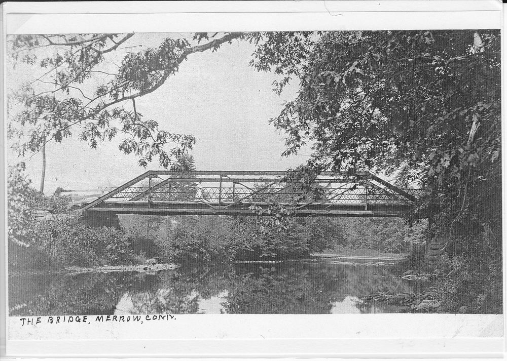
The Bridge, Merrow |
 |
 |
 |
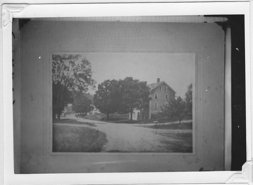
| Merrow Station. Road leading across the river into Coventry. |
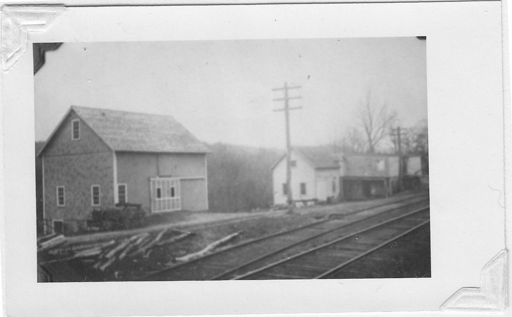
Barn, grain store and shop. Removed around 1940. |
Merrow from Rte 32. |
 |
 |
 |
| The River Path. | Railroad station, Merrow. From the Thomas J. Dodd Research Center University of Connecticut |
Railroad station, Merrow. From the Thomas J. Dodd Research Center University of Connecticut |
 |
||
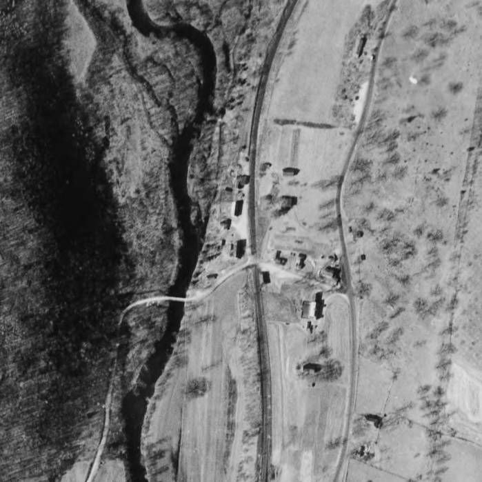
| 1934 Aerial Photograph, Merrow. From the Connecticut State Library |
Clickable Maps
1857 Map
In 1857, William. C. Eaton and H. C. Osborn prepared a wall map of Tolland County. The map shows the village of "Merrowville".

1857 District VI 1869 Map
In 1869, an atlas of Tolland and Windham counties was compiled by O. W. Gray. The atlas's Mansfield map includes a detailed inset map of Merrow Station.

1869 District VI 
1869 District VI
This file was created: 23 Jan 2010 by Patrick McGlamery
This file was edited: ?? Jan 2010 by ??