
1869 Town Map Information
Description
-
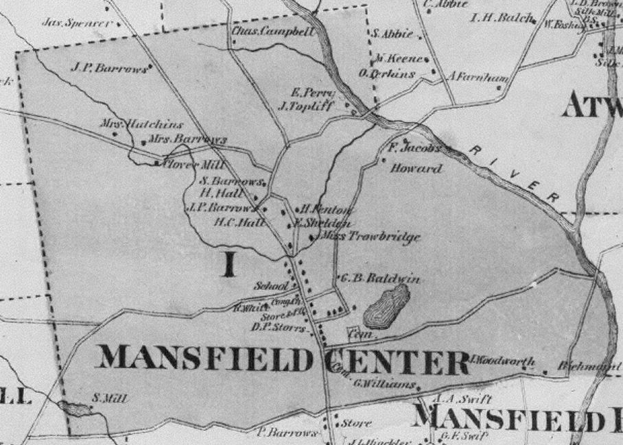
O.W. Gray published a Tolland County atlas in 1869. It contained 16 color maps including one of Mansfield.
The map showed the locations of houses and the owner or occupier of each.
The Society used this map for many years as the basis for its research of old houses.
Each house was given a unique number within each district resulting in designations such as "VI-9."
Source(s)
-
The Mansfield maps are available for viewing, downloading, and printing from this web site:
Click on this Link and choose 1869 maps to see the full town map, districts maps, and inset locale maps.An online non-colored version is available in varying sizes online at Flikr ....
A colored version is for sale by .....
The Society sells copies of the non-colored version .....
An original colored version is available in the University of Connecticut MAGIC collection.
Example(s)
-
Mansfield Town is an example of a medium size map of the town.
Mansfield Hollow Locale is an example of an inset locale map.
District I is an example of a district map.
Other Information
This file was created: 19 Dec 2009 by George Waller
This file was updated: 28 Dec 2009 by George Waller