
|
|
|
||
|
WVGenWeb Genealogy Research
|
|
Home >> Maps, photos, postcards,
etc.
|
|
Photograph and postcard contributions are always welcome!
Link to Dead Fred Genealogy
Photo Archive |
Maps, Photos, Postcards, etc.
|
Photo's Contributed for use by Pocahontas County WVGenWeb from our generous Volunteers |
|
| • Baxter Riggan, Lucy and daughter Corrine Riggan, taken Edray about 1903 - WVGenWeb Pocahontas County |
| • Bridger, Josiah and Margaret See Mace Bridger - WVGenWeb Pocahontas County, contributed by Joseph Swallow |
| • Brown's Creek School, Huntersville District, April 24, 1911. Group photo has their names on the back! |
| • Bruffey Cemetery - WVGenWeb Pocahontas County Archive |
| • Duffield, Newton S. and Elizabeth Ellen Curry Duffield Family - WVGenWeb Pocahontas County |
| • |
| • Green Hill School and Children (and most of their names!) - WVGenWeb Pocahontas County, contributed by Craig Schulz. Surnames: Bright, Doyle, Duffield, Johnson, Milburn, Peck, Ratliff, Sharp, Waugh |
| • Gristmill at Mill Point - WVGenWeb Pocahontas County, contributed by Betsy Parsons Maisel |
| • Marlinton Flood of 1901 - WVGenWeb Pocahontas County |
| • Mary's Chapel Church - WVGenWeb Pocahontas County |
| • Old Droop Church - WVGenWeb Pocahontas County, contributed by John McClure |
| • Price, Andrew, The Andrew Price Memorial - WVGenWeb Pocahontas County |
| • Wedding and Gibson Family. Help to identify the photo! - WVGenWeb Pocahontas County, surnames: Rose, Sharp, Skidmore, DeVolve, Warner, Zickefoose, Fisher |
Other Photo's on the internet |
|
| •
Dating Old Photographs - about.com |
| •
Photographic Resources on the WWW - University of Louisville,
KY |
| •
The Virtual Vintage Image - A brief tutorial on using digital
image editing to restore images of vintage photos |
| •
Airports of Pocahontas County - Geographic Names Information
System |
| •
Dams of Pocahontas County - Geographic Names Information System |
| •
Gaps of Pocahontas County - Geographic Names Information System |
| •
Library of Virginia / Board of Public Works - Wood-Boye County Maps
and Chart. (has Pocahontas County) |
| •
Locales of Pocahontas County - Geographic Names Information
System |
| •
Maps, A. Hopkins - has Days of Travel, Migration Patterns, Slave
Population and Emmanicipation... |
| •
Parks of Pocahontas County - Geographic Names Information System |
| • Pocahontas County Map - 1895 U. S. Atlas Project by Pam Rietsch |
| •
Pocahontas County Tourism Commission - Travel Guide Maps |
| •
Populated Places of Pocahontas County - Geographic Names Information
System |
| •
Post Offices of Pocahontas County - Geographic Names Information
System |
| •
Reservoirs of Pocahontas County - Geographic Names Information
System |
| •
Ridges of Pocahontas County - Geographic Names Information System |
| •
Springs of Pocahontas County - Geographic Names Information
System |
| •
Streams of Pocahontas County - Geographic Names Information
System |
| •
Summits of Pocahontas County - Geographic Names Information
System |
| •
Swamps of Pocahontas County - Geographic Names Information System |
| •
Trails of Pocahontas County - Geographic Names Information System |
| •
Valleys of Pocahontas County - Geographic Names Information
System |
| •
Virginia Census Maps 1790-1920 (animated - this is an interesting
view of evolving counties of Virginia and West Virginia) |
| • West Virginia County Map, US Census Bureau |
| •
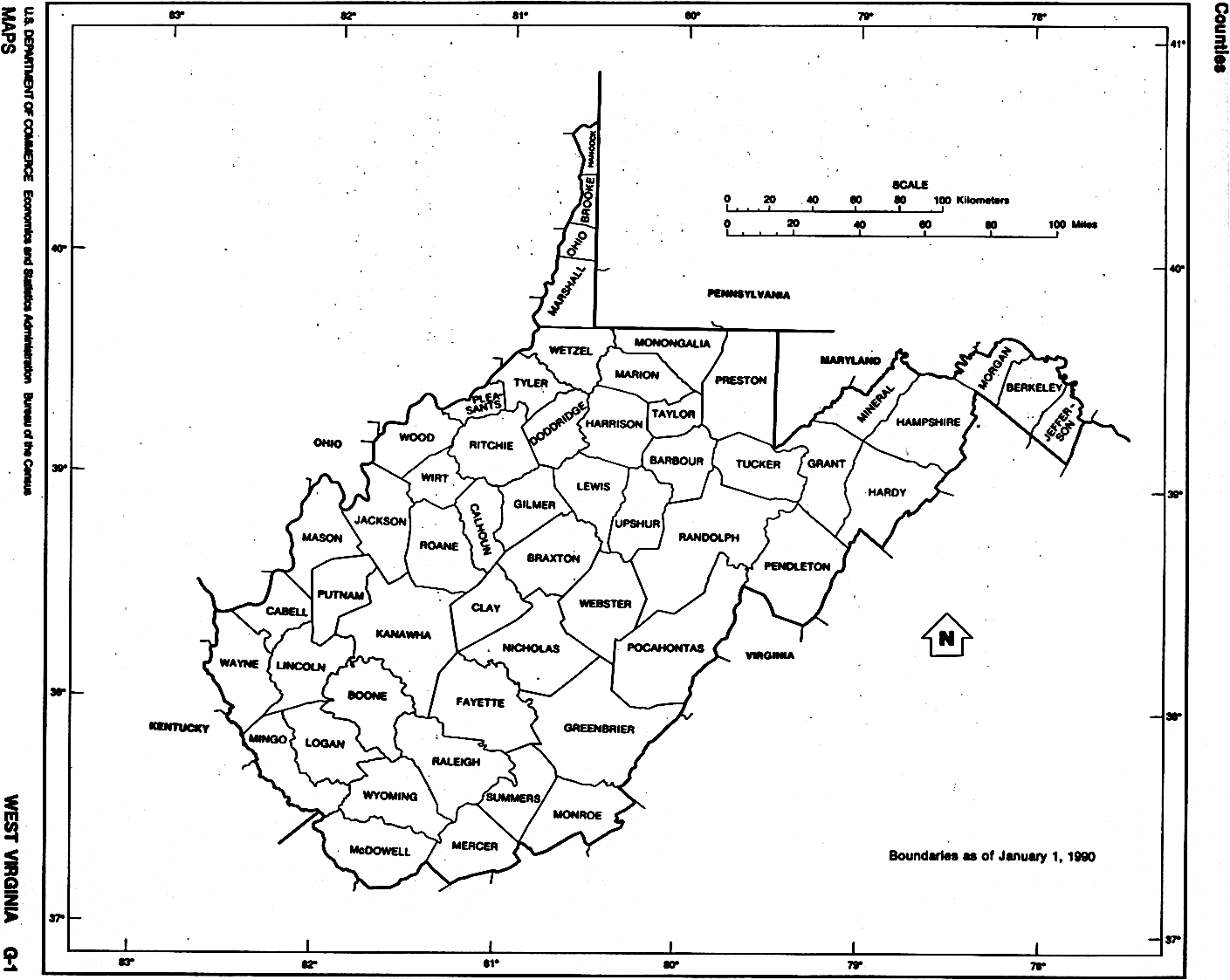
West Virginia County Map (black/white drawing) |