
|

|
|
|
|
We have tried to include some actual maps on-line and also to provide information about purchasing them.
You will also want to visit our Geographical Locations page which attempts to locate the names of waterways and towns.
![]()
![]()
![]()
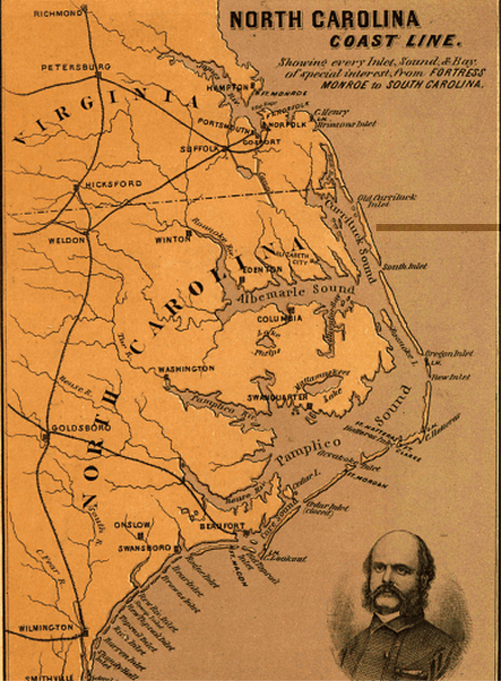
Burnside's 1862 Expedition
![]()
J.H. Colton Maps of Bertie County - 1863
![]()
1895 Map of Bertie County
![]()
Individual SECTIONS
![]()
Topographic Maps
![]()
Department of Transportation Maps
![]()
Aerial Maps
![]()
Each drawer is filled with card after card of different maps. They are currently being reorganized and may be put on the computer
Judith [email protected]

  For anyone interested there is a site called the
David Rumsey Collection--Cartography Associates.  Their web site is:

 http://www.davidrumsey.com/


This is a fabulous site containing thousands of maps.  they added over
700 since last july.  they are the most beautiful, detailed maps I've
ever seen, done by cartographers of a bygone era who were truly artists
in their own right.  If you go there click on the link, "view collection
with browser."  The best way to find a map is to use their search
engine--then click on speed search--then--"by state"--then type in
"North Carolina" or whatever state, etc. since otherwise there are
literally hundreds of tiny map icons to search through.

 One of the best is a map by J.H. Colton, 1863. It's a map of North
Carolina with part of Virginia.  (it will be on a menu after a search of
"North Carolina")) These maps take a long time to download, but I can
assure you, you'll not regret the wait.

 In the lower right hand corner of each map, there is a "tool box" for
the purpose of manipulating the map.  the maps first load as small
unreadable  maps, but by first clicking on the "Plus" sign and the
arrow--simply move your cursor to the portion of the map you want to
enlarge.  It may take several successive downloads to enlarge the map
enough times to see the detail you wish to see and/or orient oneself to
a particular portion of the map.  As long as the plus sign in the box is
lit, (it keeps reappearing after each download is complete) one can
continually enlarge the map simply by placing the cursor on the portion
of the map you wish to enlarge and clicking.  (you may have to play
around with it to get the hang of it, it frustrated me at first).

On this map, the town of Tabbs Creek and Tabbs Creek, the water course
are in the southern part of Granville Co NC, They appear  to be quite a
bit east of what I understand to be the route of the Trading Path.

I hope some of you can use these incredible maps, but I have to warn
you.  the collection is so fascinating, I once got "lost" there for
three weeks. It's something of a "black hole" for a genealogist.
___________________________
Last update:Monday, 10-Sep-2018 11:11:18 MDT