

Thanks to Neil Smith for informing us that the Missouri Dept of Transportation sells detailed highway maps of each county showing section, township, and range as well as highways, cemeteries, and other land features. The cost is 50 cents per county map, including postage. Call the MODOT Map Division at (573) 751-2825 to obtain an order form.
Here are three different current maps of Howard County, Missouri. After viewing
the maps, be sure to click on the backup button on your browser to return to
this page.
Howard County, Missouri with marked townships
Howard County, Missouri with marked major roadways
Howard
County, Missouri (at OSEDA)
Here are some links to some historical maps pertaining to Howard County, Missouri.
These are links to the Historical Map section on the main MOGenWeb page, therefore if you click on one of the
maps below, be sure to click on the backup button of your browser to get back to this page.
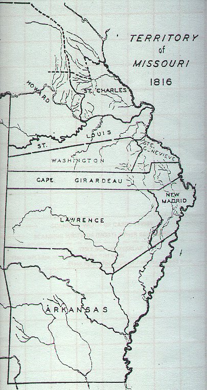
Territory of Missouri 1816
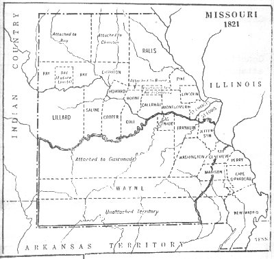
State of Missouri 1821
State of Missouri 1834
State of Missouri 1841
US County Formation Maps
Missouri County Formation
Maps
Back to Howard County, MOGenWeb
� 2001 by Sherryl Barger for the Howard County MOGenWeb Project
This page last updated on October 29, 2006.