Maps - Geography
Missouri became the 24th state on Aug. 10, 1821. |
  |
| 1804 Territory
of Missouri Map |
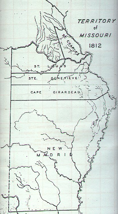
| 1812 Territory
of Missouri Map |
| 1813 Territory
of Missouri Map |
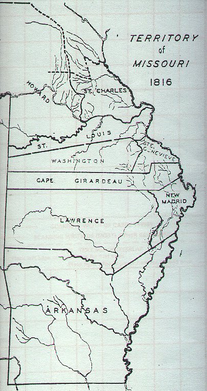
| 1816 Territory
of Missouri Map |
| 1821 Missouri Map |
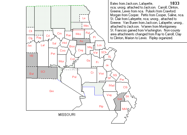
| 1833 Missouri Map |
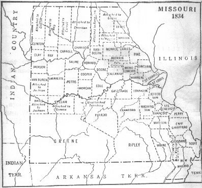
| 1834 Missouri Map |
| 1840 Missouri Map |
| 1840 Missouri Map |
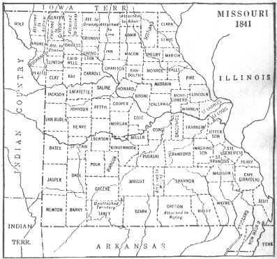
| 1841 Missouri Map |
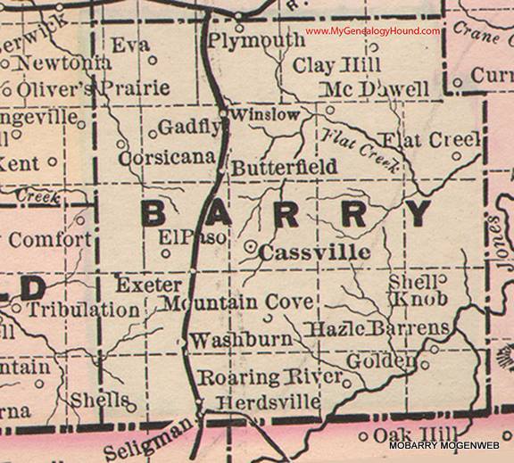
| 1845-1846 Map of
Barry Co., MO |
| 1860 Map of
Missouri |
| 1861 Map of US |
| Map of
Union and Confederate States |
1886 Barry County Map - permission from Genealogy Hound
Unreliable Resource - This 1886 map has many towns that are marked in the wrong places!!!! |
| 1909
Standard Atlas of Barry Co., MO |
|
1930 Plat Book of Barry Co., MO |
| 1953 Map,
Barry and Lawrence Counties, MO |
| 1972 Plat Map of Barry Co., MO |
| Township Chart - By Gerald Haddock |
| Online Version of Barry County Road Map |
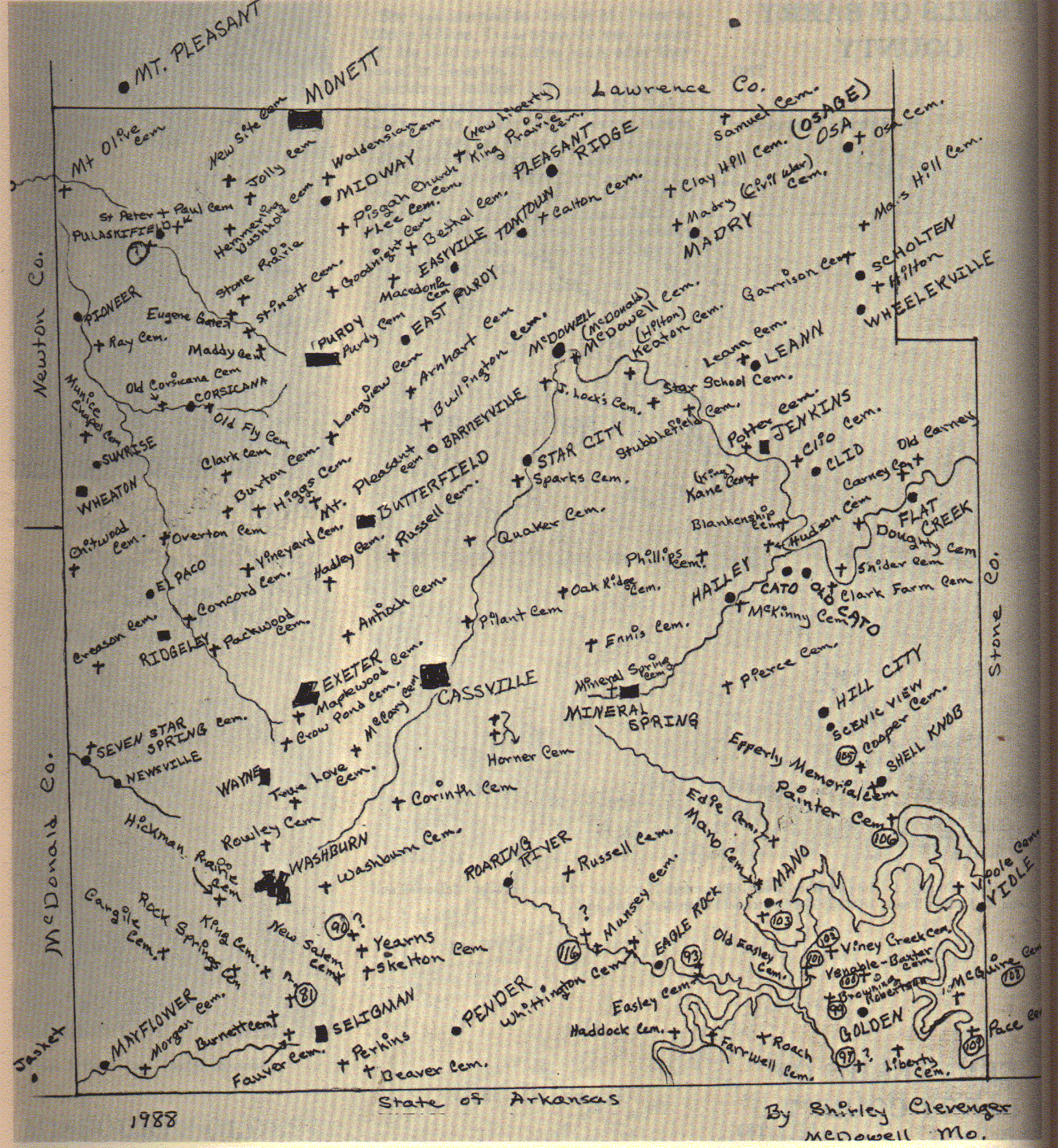
| Cemetery Map by Shirley Clevenger, 1988 |
| Place Names in Barry County |
| Barry County Maps - Historical Schools |
| Barry County - Historical Spots |
| Satellite Views - Historical |