|
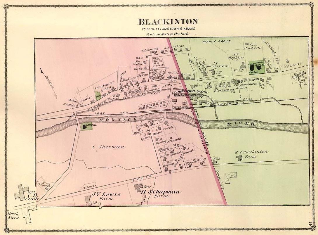
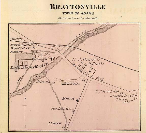
Adams
(so named in honor of the patriot Samuel Adams) is an important
and flourishing agricultural and manufacturing town on the Hoosac
River, in the northern part of Berkshire County, about 140 miles
northwest of Boston. It is connected with the Fitchburg Railroad
at the village of North Adams, and with the Boston and Albany
at Pittsfield by a direct line between those two places; the principal
stations in the town being Adams and Maple Grove. Its postal villages
are Adams and Zylonite. Other villages are Arnoldsville, Howland
and Renfrew. North Adams (formerly a part of this town) bounds
it on the north; Savoy, on the east; Cheshire, on the south; and
New Ashford on the west. Its area is 11,900 acres, aside from
highways and water surfaces. Of this, there are 5,203 acres of
woodland.
The surface is hilly, rising at the southwest to the eminence
known as Saddle Ball, and at the northwest, to the noted and lofty
summit of Graylock, 3,505 feet above the sea; being the highest
peak in the Saddleback range and in the State. The sides of this
mountain are covered with a growth of maple, beech, birch and
cherry, over which the observer at the summit looks upon a most
magnificent prospect. "Down at his feet," says Rev.
W. Gladden, "lies the valley of the Hoosac, nearly three
thousand feet below, Pittsfield with its beautiful lakes, and
many smaller villages are seen in the valleys and many of the
adjacent slopes. Southwestward the eye sweeps over the tops of
the Taconics, away to the Catskills beyond the Hudson; northwestward,
the peaks of the Adirondacks, in Northern New York, are plainly
visible; in the north the sturdy ridges of the Green Mountains
file away in grand outline; on the east Monadnock and Wachusett
renew their stately greeting, and Tom and Holyoke look up from
their beautiful valley; southward Mount Everett (the Taconic Dome)
stands sentinel at the portal of Berkshire, through which the
Housatonic flows. And all this grand circuit is filled with mountains;
range beyond range, peak above peak, they stretch away on every
side, a boundless expanse of mountain summits."
The Hoosac River, entering the town at the middle of its southern
border, continues the same course, flowing through a valley of
great fertility, flanked on either side by lofty bills. The underlying
rock is Lauzon schist, Potsdam and Levis limestone. Beautiful
marble has been quarried for the market in the town. The number
of farms in 1885 was 111; and their total product was $154,017,
- the dairies contributing $49,902 of this amount. The manufactures
consist of cotton goods chiefly; but there are large products
of food preparations, woollen cloths, lumber, paper, stone, machinery
and metallic and zylonite goods, and others to the number of 48
establishments. Textile goods brought the sum of $1,948,461; building
materials and stone, $108,598; food preparations, $54,530; the
aggregate reaching the amount of $3,702,943. The valuation of
estates in 1888 was $3,458,104; with a tax of $16.50 on $1,000.
The First National Bank, on December 1st, 1888, had assets to
the value of $437,836; and the amount of deposits in the Savings
Bank on January 1st, 1889, was $572,254.
In 1885 there were 1,387 dwelling-houses, 8,283 inhabitants, and
1,234 legal voters. The town has graded and mixed schools, with
seven school buildings, which, with appurtenances, were valued
at $88,150. There were four libraries having about 5,000 volumes,
- of which the town public library had about 3,500, and church
and Sunday schools the remainder. There are two papers issued
weekly, the Freeman and the Zeitgeist, - the latter in German.
Adams has seven churches; of whose edifices two or three are quite
superior. The Baptist church here was organized in 1826; the Congregational,
in 1840; and the Universalist, in 1872. St. Mark's is the Protestant
Episcopal church, while the Roman Catholics have two churches,-
both at South Adams.
The territory of Adams, formerly called East Hoosac, was purchased
in 1762 by Nathan Jones for the sum of £2,300. The
first meeting-house was built of logs. The Rev. Samuel Todd,
settled here in 1780, was the first minister. Fort Massachusetts,
one of a cordon of defences raised for the protection of the people
eastward against the French and Indians, stood at the north of
Saddle Mountain, on the western side of the present North Adams.
The town was incorporated on October 15th, 1778; in 1780 the plantation
called New Providence was annexed; but in 1793 parts of Adams
and neighboring towns were annexed to Cheshire. On April 16th,
1878, the larger part of the town was detached and established
as North Adams.
In 1885 there were in this town thirty-five people who were over
80 years of age. Among the eminent persons of whom Adams was the
native place, are Caleb Atwater (1778-1867), Stephen
William Taylor, LL.D.; George Nixon Briggs, LL.D.,
governor of the Commonwealth from 1844 to 1851; and Susan B.
Anthony (1820), the well-known pioneer advocate of suffrage
for women.
pp.
103-105 in Nason and Varney's Massachusetts Gazetteer, 1890
|

