Kansas History and Heritage Project- Saline County Maps
Saline County Maps
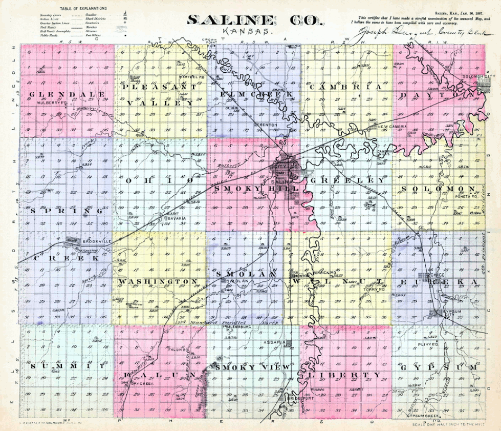
1887 Map of Saline County
1920 Plat Maps
--The maps show ownership, school and cemetery locations. Please left click when you reach the image, to enlarge it:
1920 County Map
Ohio Twp.
Cambria Twp.
Pleasant Valley Twp.
Dayton Twp.
Smoky Hill Twp.
Elm Creek Twp.
Smoky View Twp.
Eureka Twp.
Smolan Twp.
Falun Twp.
Solomon Twp.
Glendale Twp.
Spring Creek Twp.
Greeley Twp.
Summit Twp.
Gypsum Twp.
Walnut Twp.
Liberty Twp.
Washington Twp.
Return to Saline Co. KHHP
This website created June 15, 2011 by Sheryl McClure.
� 2011 Kansas History and Heritage Project