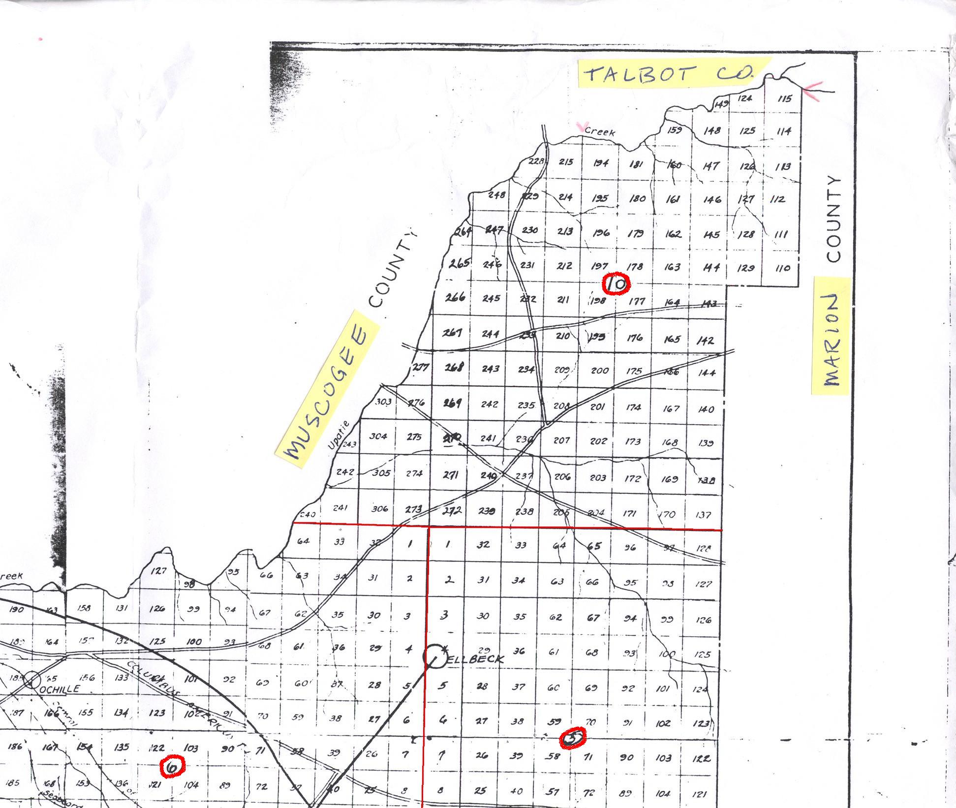
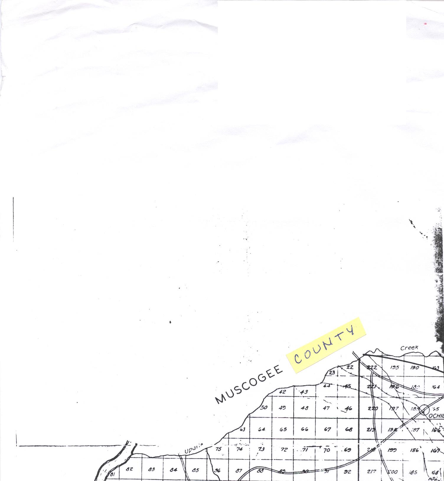
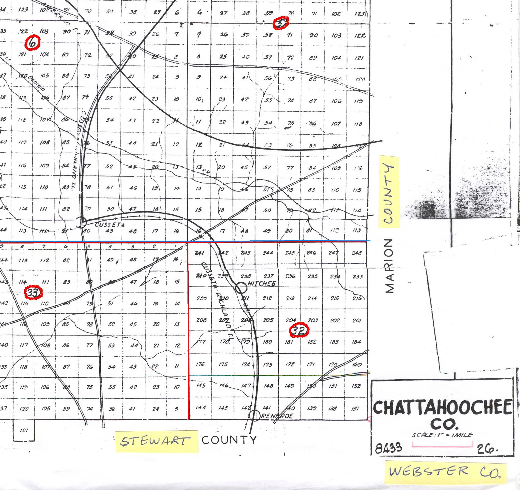
Land Districts - Chattahoochee County

|
Land Districts - Chattahoochee County
|
|
Plat Maps
| Pre Ft Benning
| After Ft. Benning
The land districts and numbering of lots continues into neighboring counties. This is because these lots and districts remain as they were drawn when the original counties of Muscogee and Lee were laid out in 1826, after the cession of Creek (Native American) lands. The line between these two original counties ran east to west just south of Cusseta. This is illustrated in a map at the following address, posted on the Lee County website:
Since Chattahoochee County was created from both Original Muscogee and Original Lee (not to be confused with the current Muscogee and Lee Counties), researchers should always search in those counties which originally made up Lee County.
| Click the PHOTO for Enlarged Picture |
 |
|
|
 |
|
|
 |
|
|
|
|
 |
Many thanks to Mr. John Mallory Land who scanned these maps for our use!
GAGenWeb
is part of the USGenWeb Project.

Send comments about GAGenWeb to, Kemis Massey,
County Coordinator.
Page last updated: Thursday, 3 June 2010 23:45:04 EST
Copyright, the GAGenWeb Project, 2005 - Present
All materials contained on these pages are furnished for the free use of those engaged researching their family origins. Any commercial use, or, other electronic posting of any files/pages without the consent of the host/author of these pages is prohibited. All images used on these pages were obtained from sources permitting free distribution, or generated by the author, and are subject to the same restrictions /permissions. All persons contributing material for posting on these pages does so in recognition of their free, non-commercial distribution, and further, is responsible to assure that no copyright is violated by their submission.