
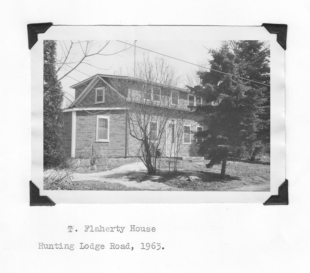
156 Hunting Lodge Road, Mansfield, CT
Brief Overview
- From the 1963 Survey:
Shown on 1869 map as owned by T. Flaherty. "Carpenter who was doing some repairs thought the ell at back might be old, construction of main house not very old."
Surveys
1963 Old Houses Survey
In 1963 The Mansfield Historical Society made a survey of old houses. The form for this house includes architectural data and a title history back to 1851.

Photographs
 |
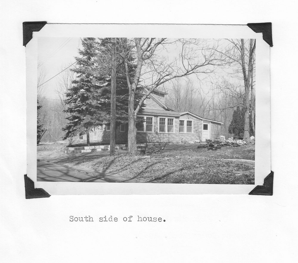 |
| Front of house. | South side of house. |
Maps
1857 Map
In 1857, William. C. Eaton and H. C. Osborn prepared a wall map of Tolland County. The map does NOT show this house.
1869 Map
In 1869, an atlas of Tolland and Windham counties was compiled by O. W. Gray. The atlas's Mansfield map indicates this house as the property of T. Flaherty.

Click on map for location.
This file was created: 07 Jan 2010 by Patrick McGlamery
This file was edited: 20 Jan 2010 by George Waller