1840 Census Distribution: STINCHFIELD/STANCHFIELD STINCHFIELD/STANCHFIELD Home Page --> STINCHFIELD/STANCHFIELD Map Information

1850 Census Distribution: STINCHFIELD/STANCHFIELD

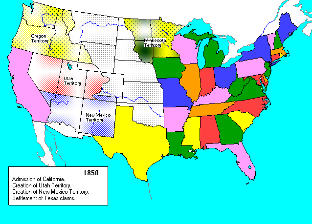
This Census Distribution map shows the distribution of STINCHFIELD/STANCHFIELD heads of household according to the 1850 census. You can click on the state to go to the index or transcriptions for that state.
It was created based on Harry JF Wykes' US Distribution Analysis facility, using current state boundaries. State boundaries as of 1850


1850 Census Distribution - STINCHFIELD/STANCHFIELD Alaska Washington Montana Oregon Idaho Wyoming North Dakota South Dakota Nebraska California Nevada Utah Arizona Colorado New Mexico Oklahoma Texas Hawaii Minnesota Iowa Wisconsin Kansas Missouri Arkansas Louisiana Illinois Indiana Michigan Mississippi Ohio Maine New Hampshire Vermont New York New York New York City New Jersey Pennsylvania District of Columbia Delaware Maryland West Virginia Kentucky Virginia Rhode Island Massachusetts Connecticut North Carolina South Carolina Tennessee Alabama Georgia Florida
Return to the STINCHFIELD/STANCHFIELD Genealogy Home Page
Tracey Morris/ Kokomo, Indiana/[email protected]