

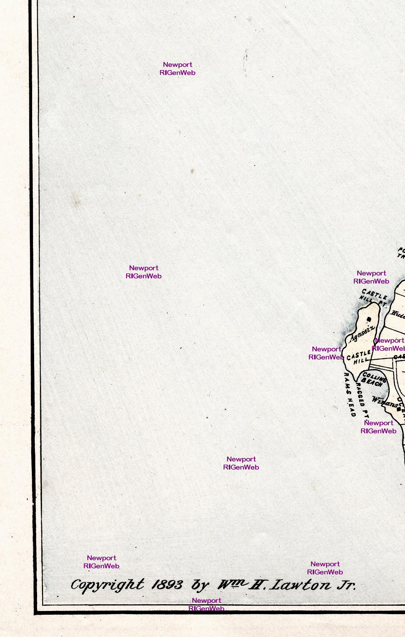
1893 Map of the Island of Rhode Island
1893 Map of the Island of Rhode Island
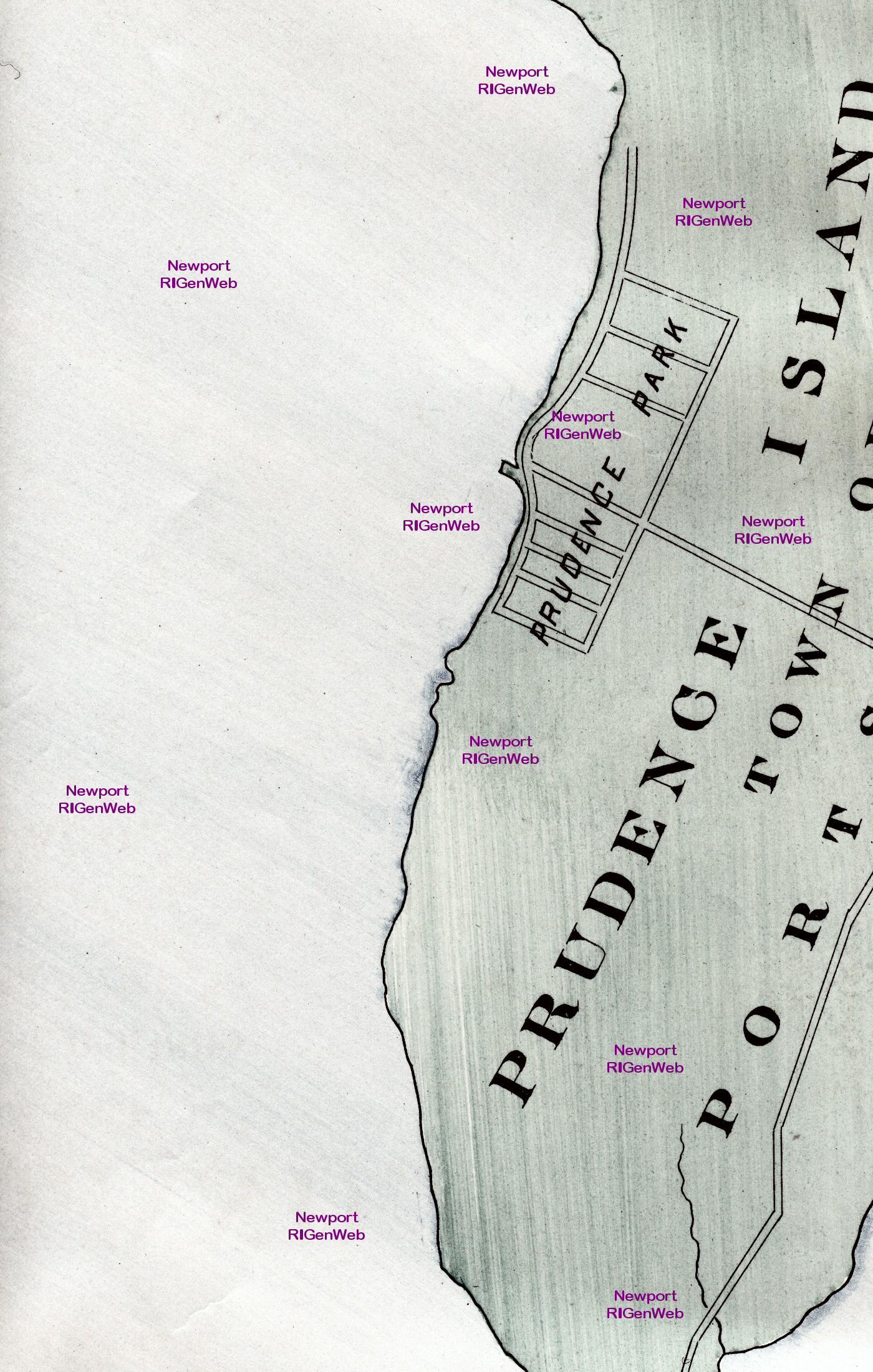
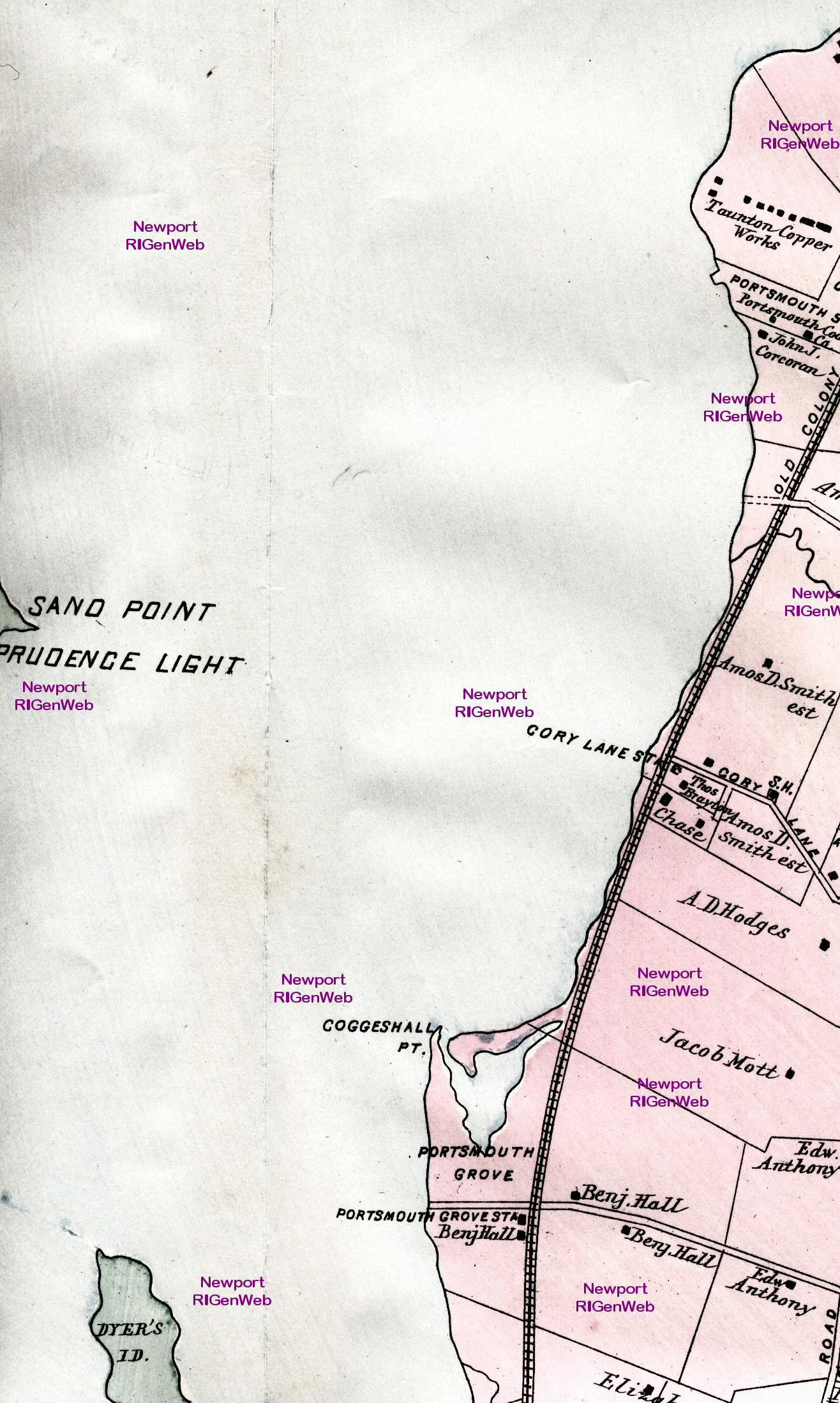
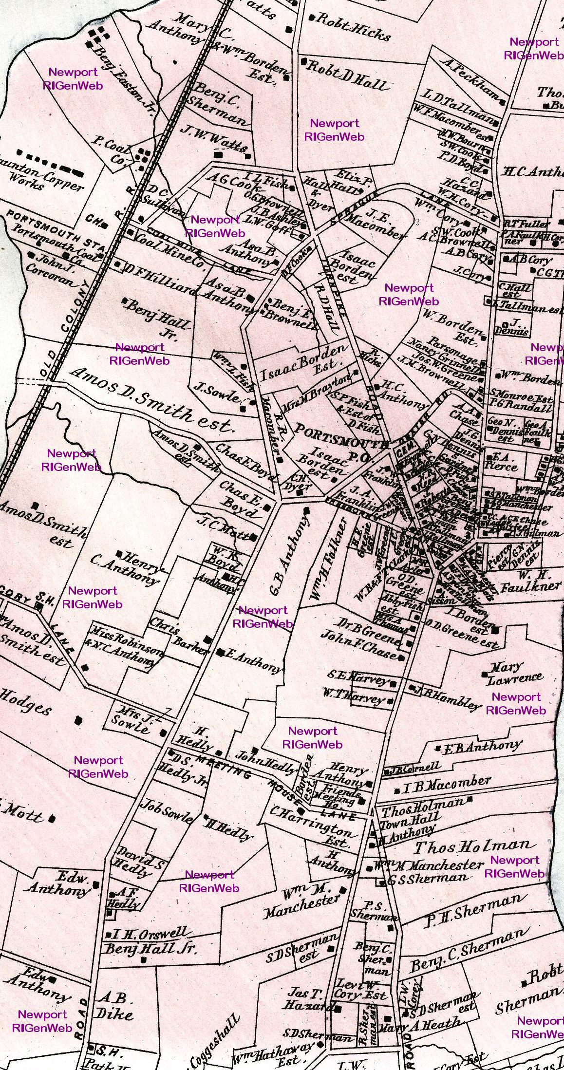
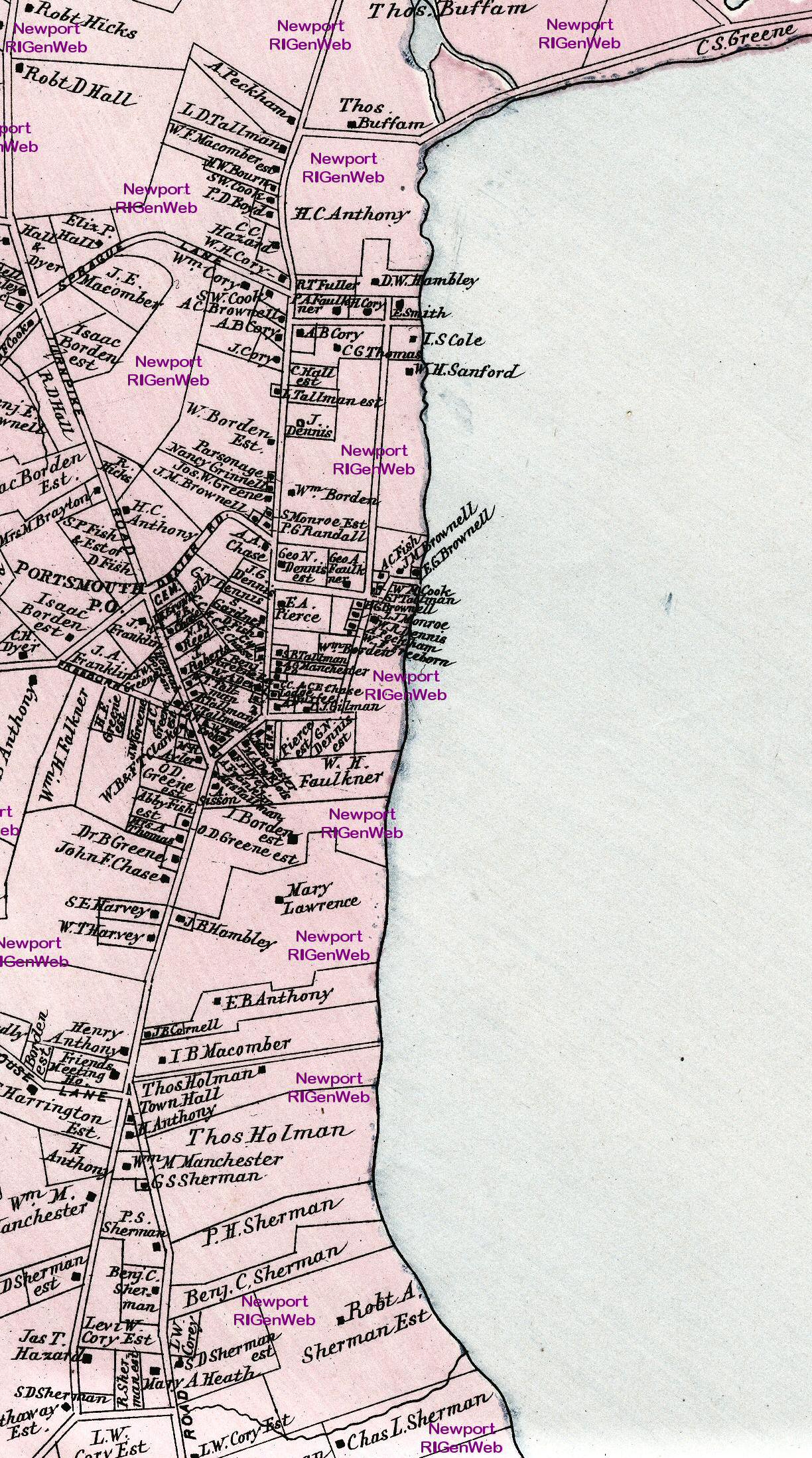
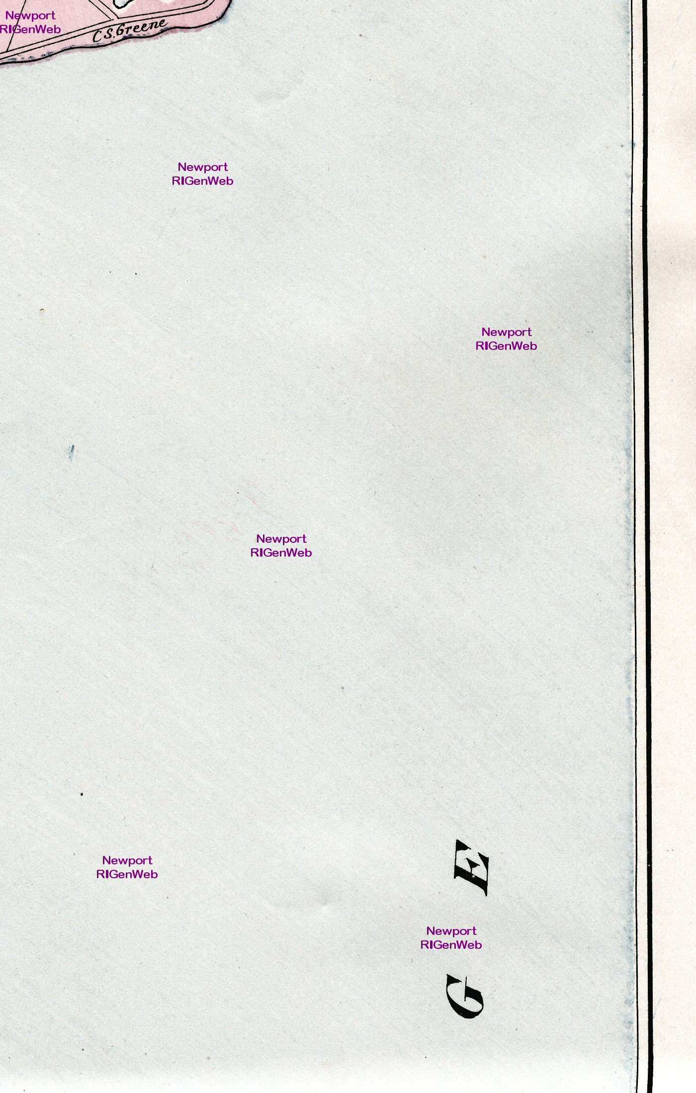
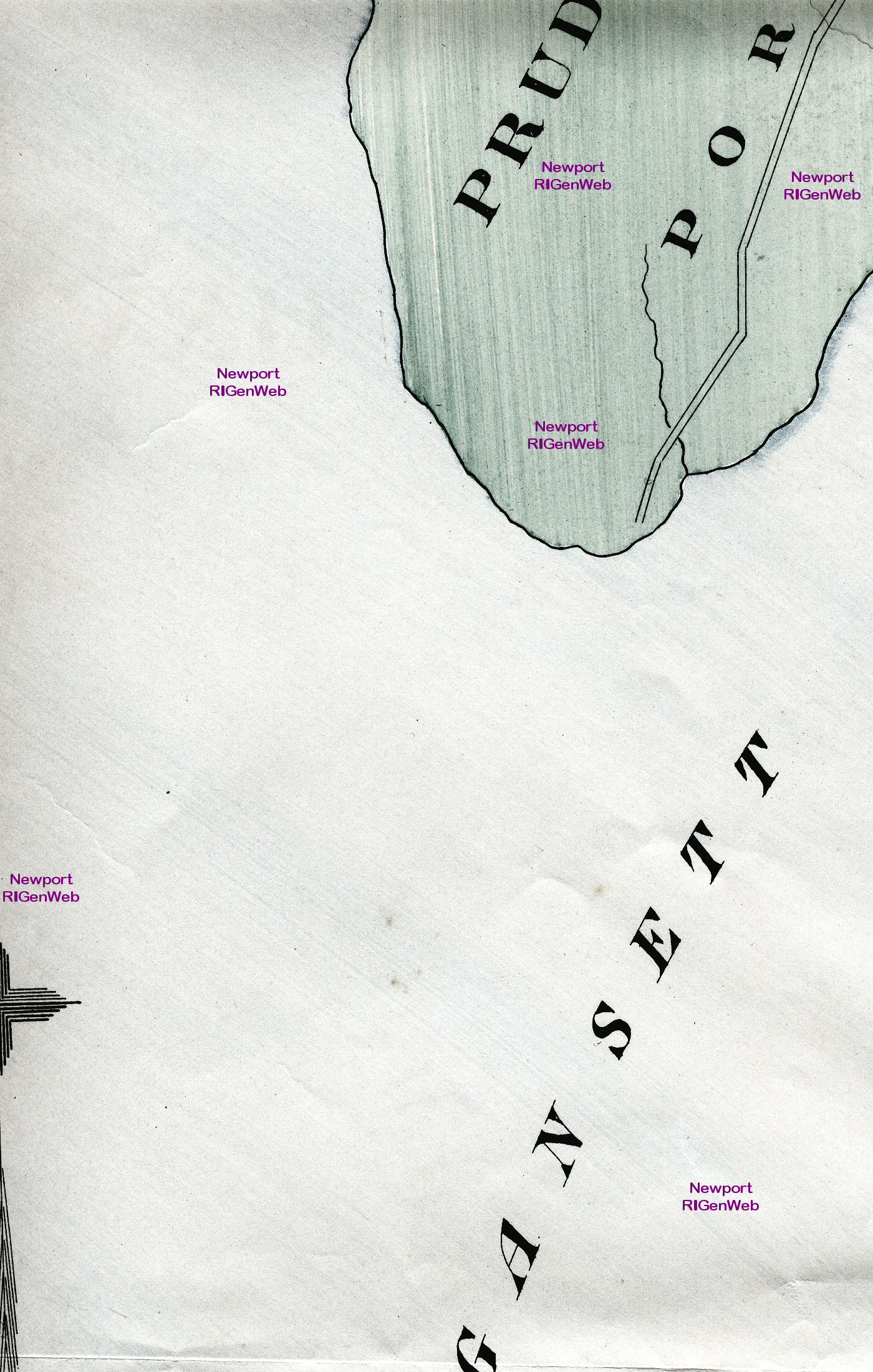
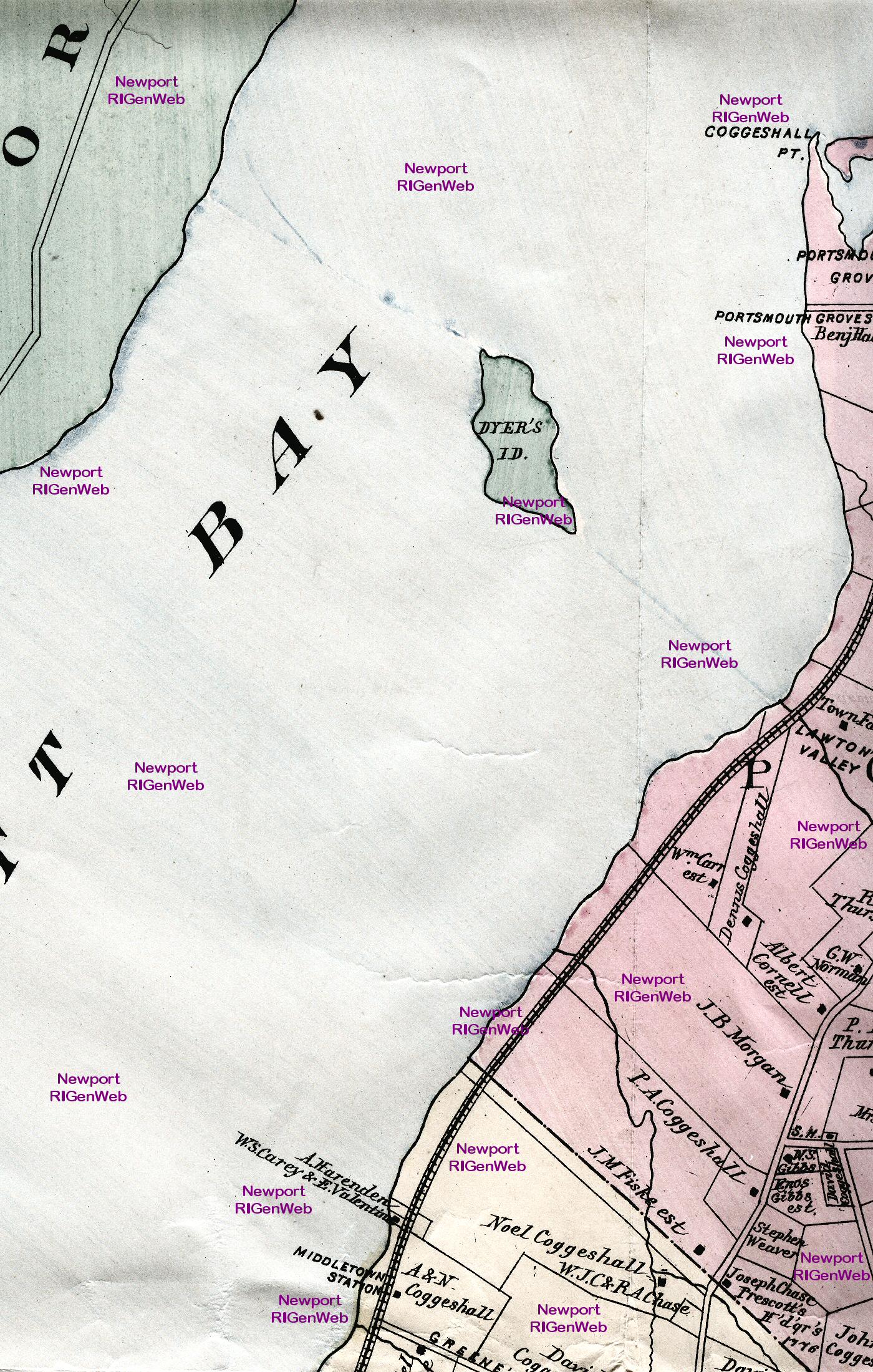
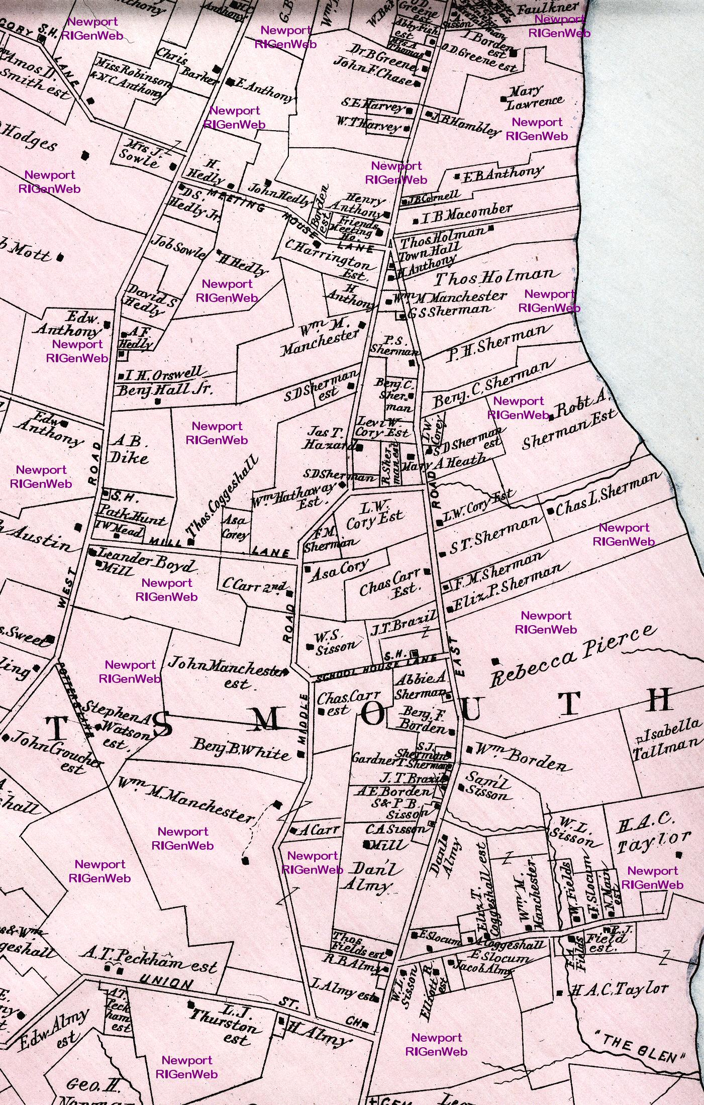
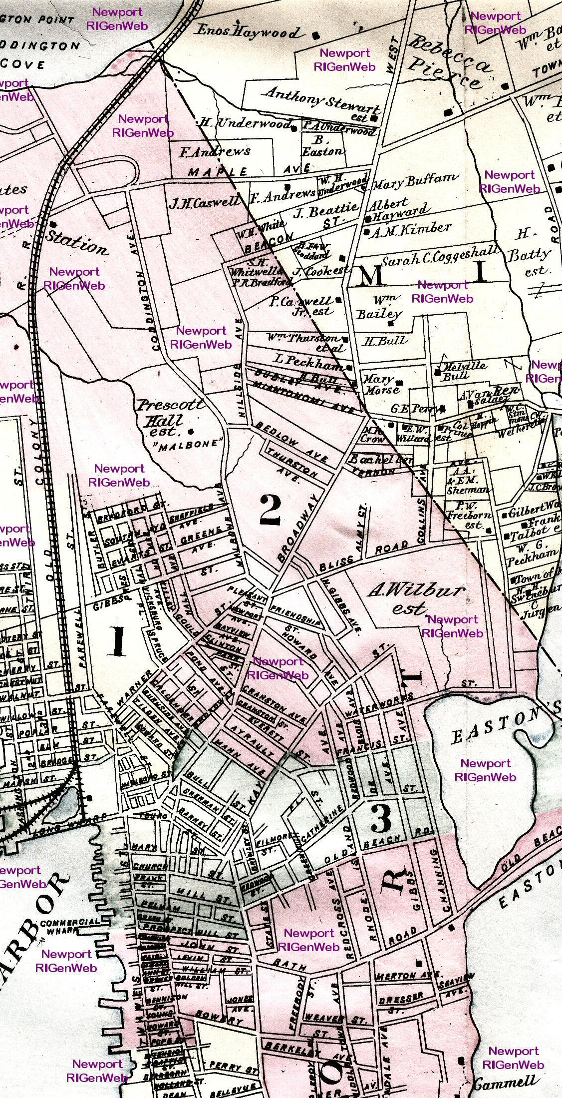
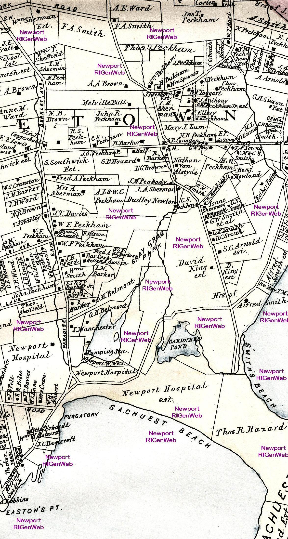
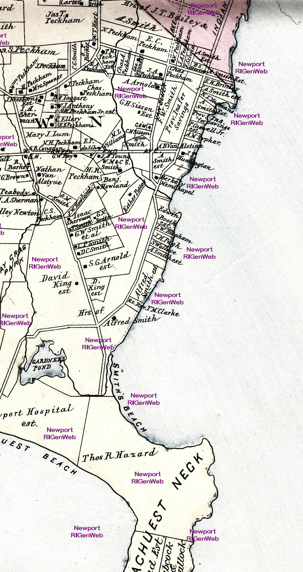
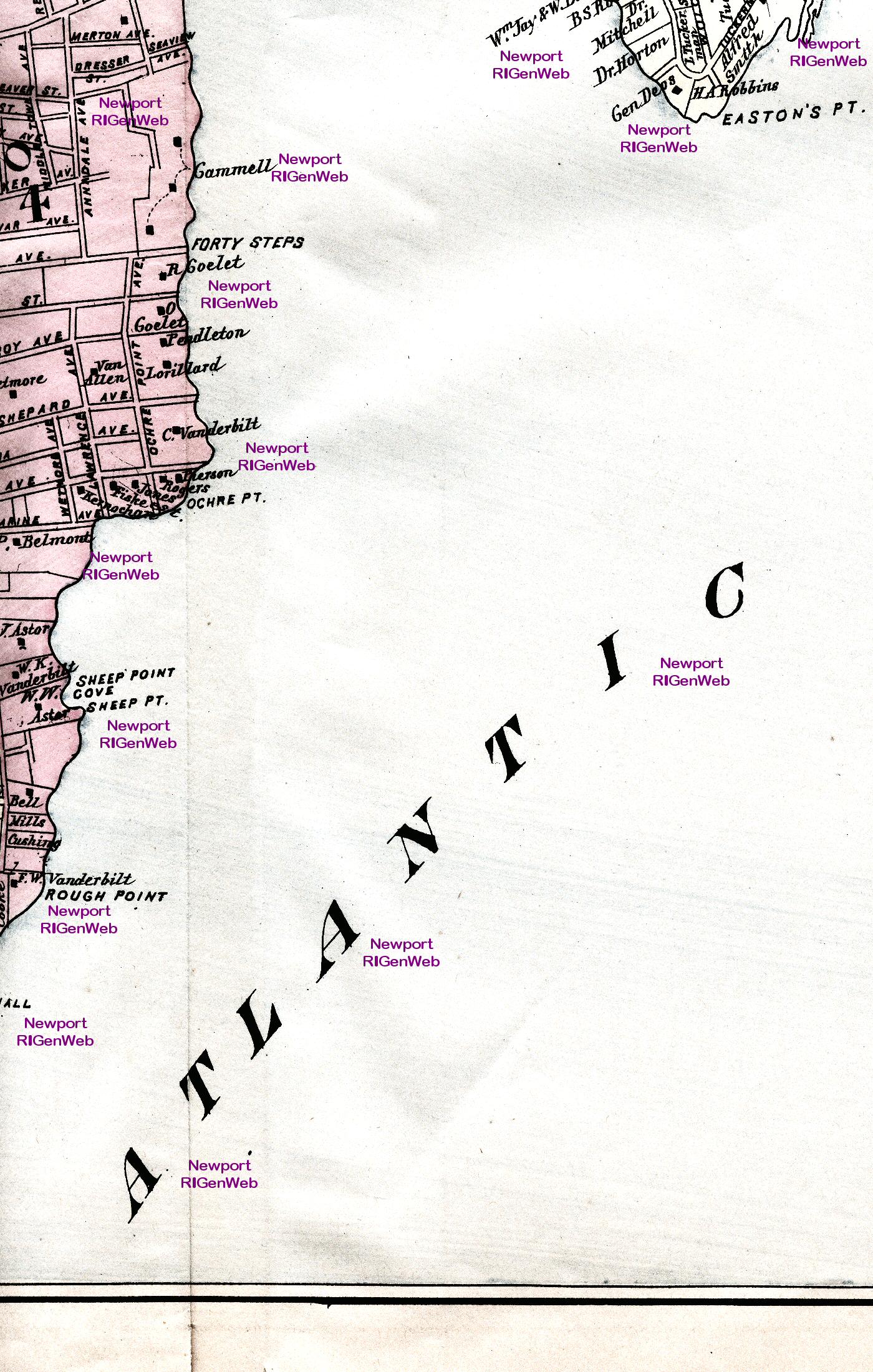
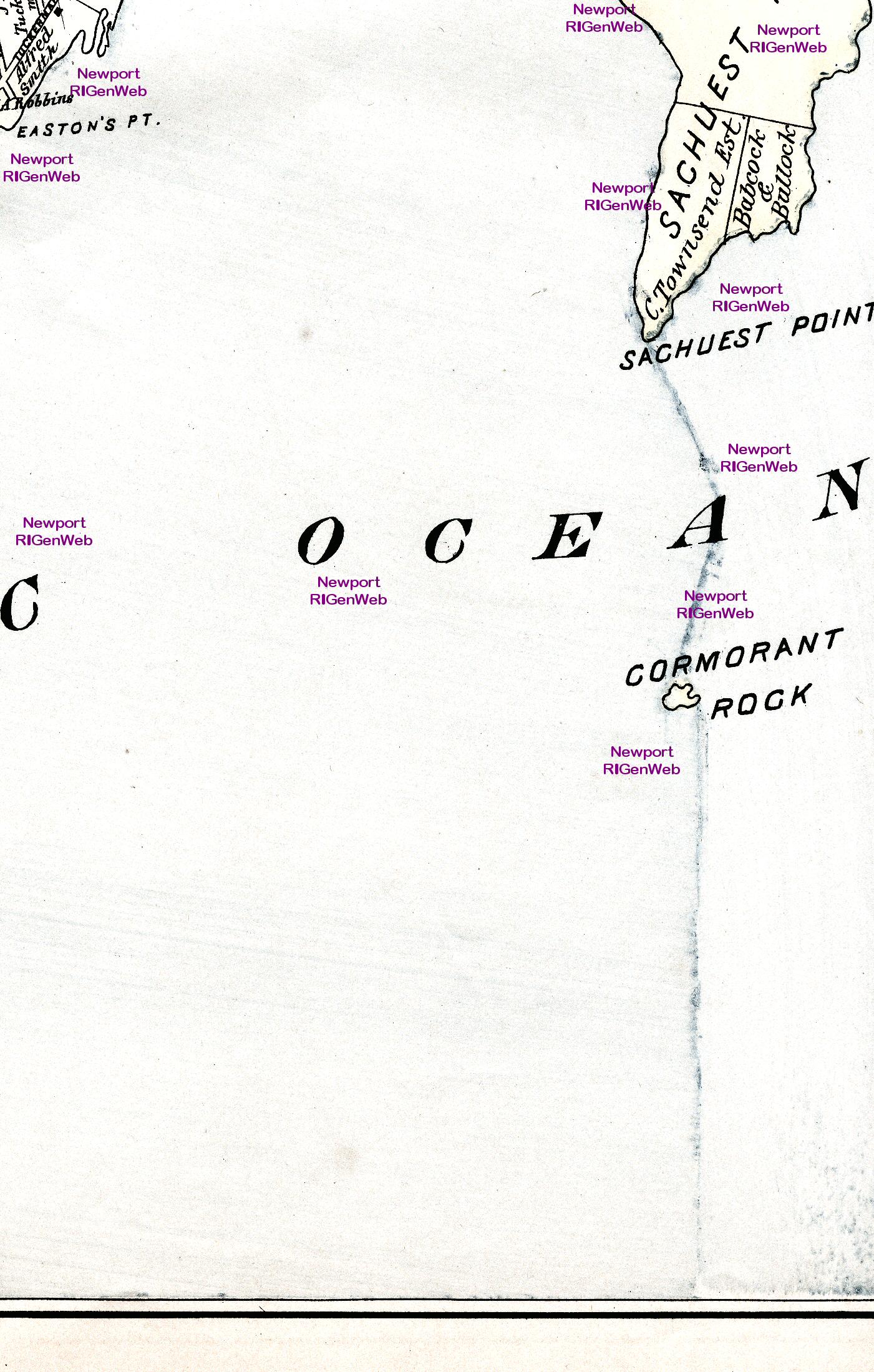
The scans are in six rows with eight overlapping scans per row. Start with the sections in BOLD to avoid the water scans or land without names. Each scan size runs from 400 kb to about 850 kb, depending upon the colors. These are configured for viewing on your computer. If the image fits the screen in Internet Explorer, click on the image and then click on the square icon in the lower right corner to expand it to full size. For printing, save and use an imaging program.
Row 2: section a; section b; section c; section d; section e; section f; section g; section h
Row 3: section a; section b; section c; section d; section e; section f; section g; section h
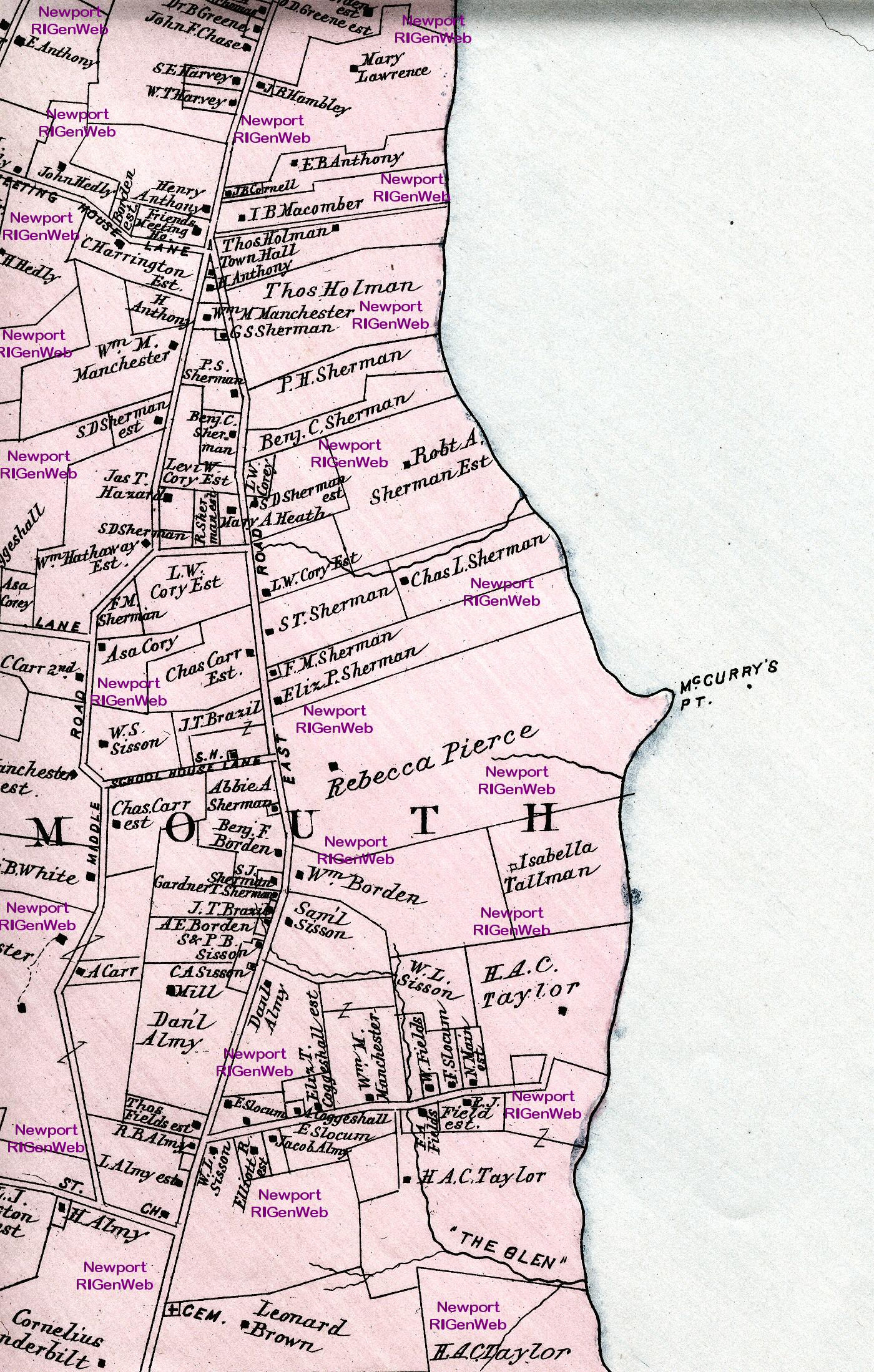
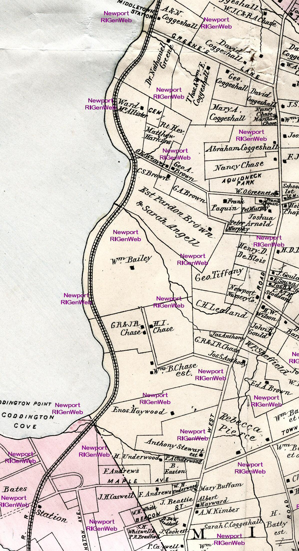
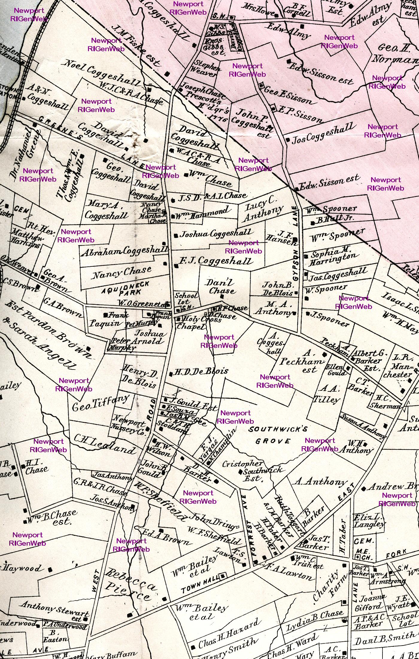
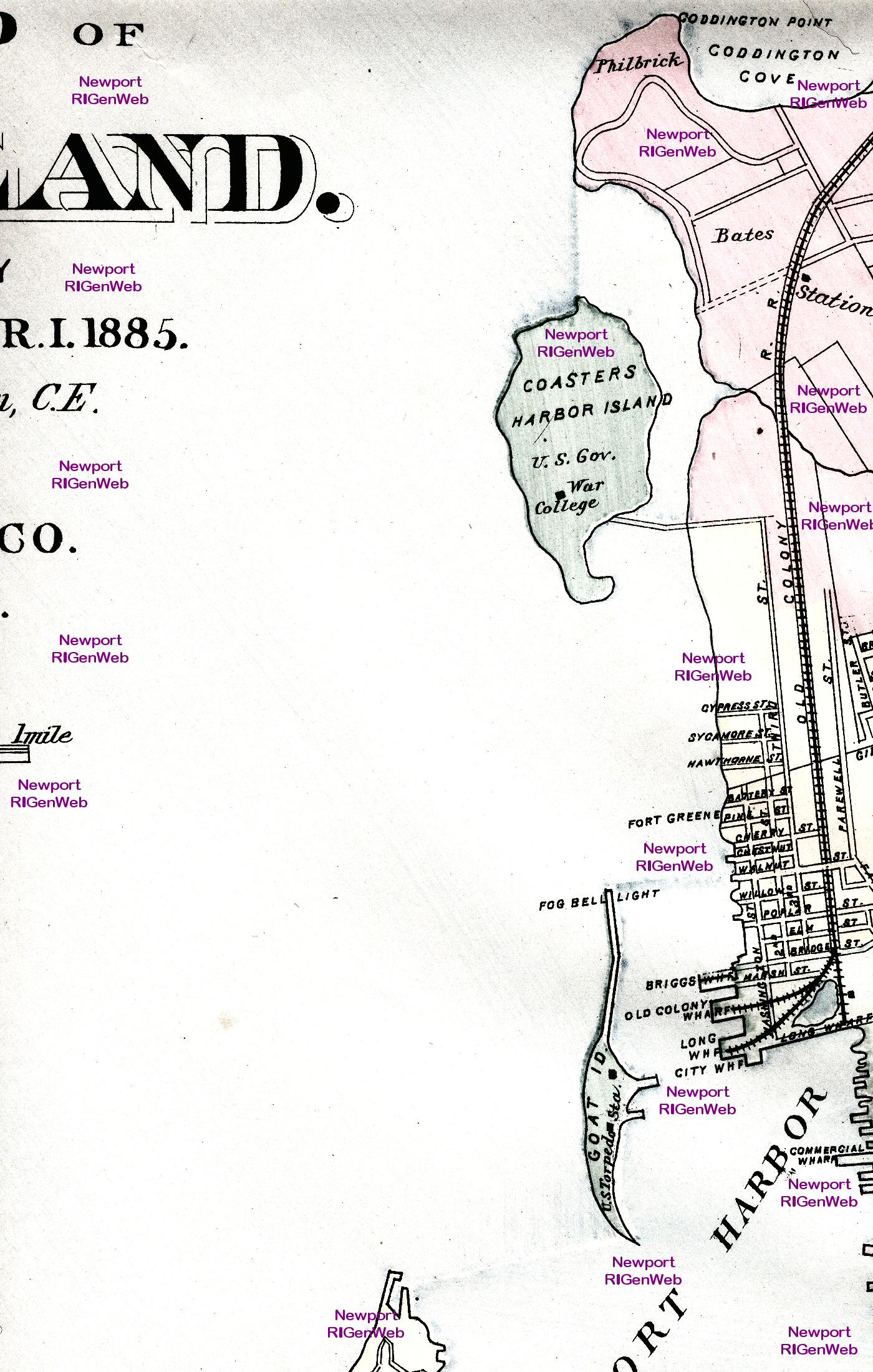
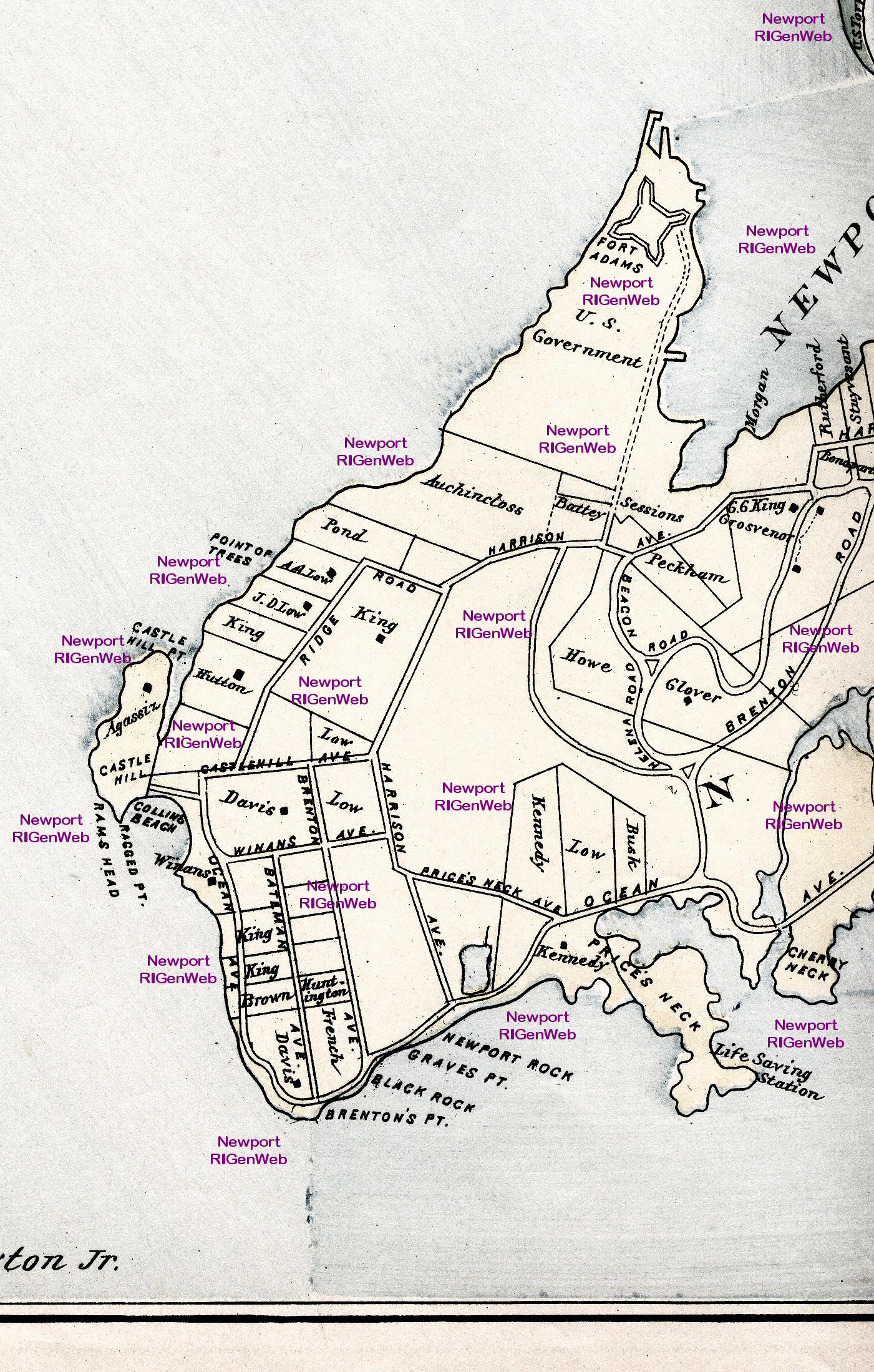
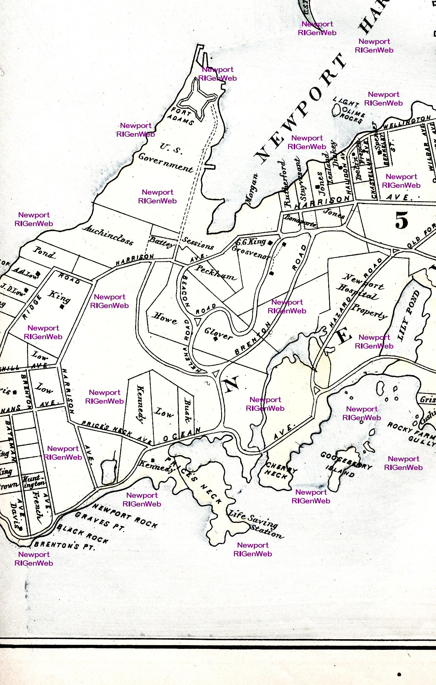
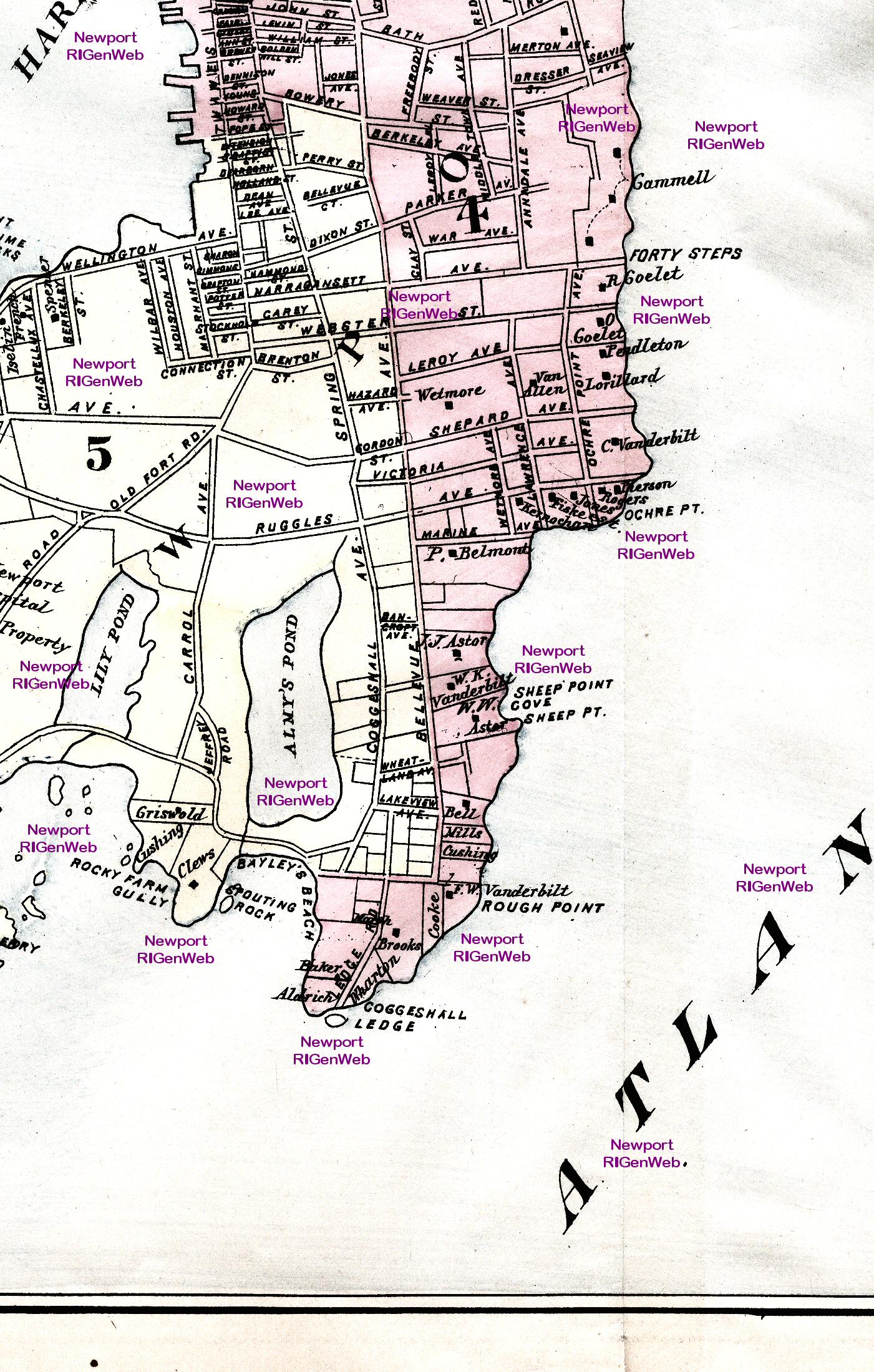
Row 4: section a; section b; section c; section d; section e; section f; section g; section h
Row 5: section a; section b; section c; section d; section e; section f; section g; section h
Row 6: section a; section b; section c; section d; section e; section f; section g; section h
Back to the Map Index Page
To 1873 Harper's Panoramic Sketch of Newport
![]() Return to Newport County Rhode Island Home Page
Return to Newport County Rhode Island Home Page
https://sites.rootsweb.com/~rinewpor/maps/