 |
|
Hamilton County
Maps
If you have any
Maps for Hamilton county to add, please send to Linda.
If you're looking at older maps for
Cincinnati, you also might be interested in this offsite link: Street
Name
Changes In Cincinnati, Ohio
| Maps on this website In May 2008 Joan Asche donated her "Cincinnati Street Maps" from her former website. Thank you Joan! For the best possible viewing of the smaller streets when street names may not be visible, download the map(s) into a photo editing program on your computer click the image for larger view & downloadable page note that some are large and may be slow to load |
|||
 |
 |
 |
 |
| Township Map |
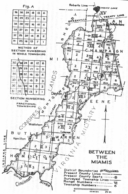
Congress
Lands (First Meridian Survey) |
Between
the
Miami's |
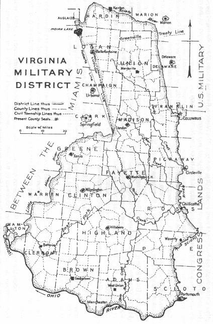
Virginia Military District |
| Henry
Ford's
1881 "History of Hamilton County" |
"Ohio
Lands
- A Short History" by the Auditor of the State |
"Ohio
Lands
- A Short History" by the Auditor of the State |
"Ohio
Lands
- A Short History" by the Auditor of the State |
|
|
|||
 |
 |
 |
|
| 1853 Cincinnati Wards |
1868 Cincinnati Wards ~ right side | 1868 Cincinnati Wards ~ left side |
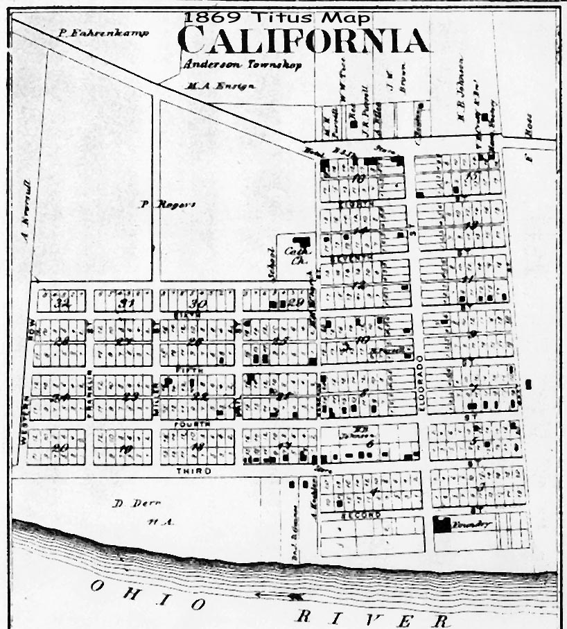
1869
Titus
Map of California |
| PDF version
of both sides |
Anderson Twp | ||
| unknown |
contributed by Joan Asche | submitted by Pattie Graman | |
|
|
|||
 |
 |
 |
 |
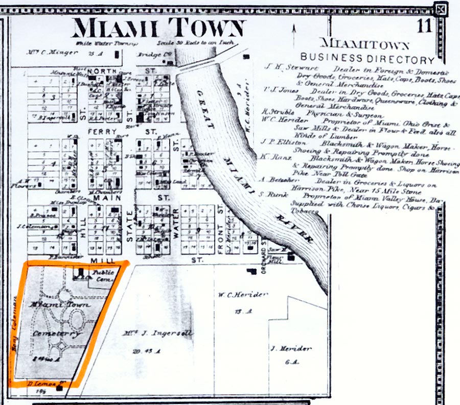
| 1869 Titus Map of Harrison Twp | 1869
Titus Map of Miamitown Whitewater Twp |
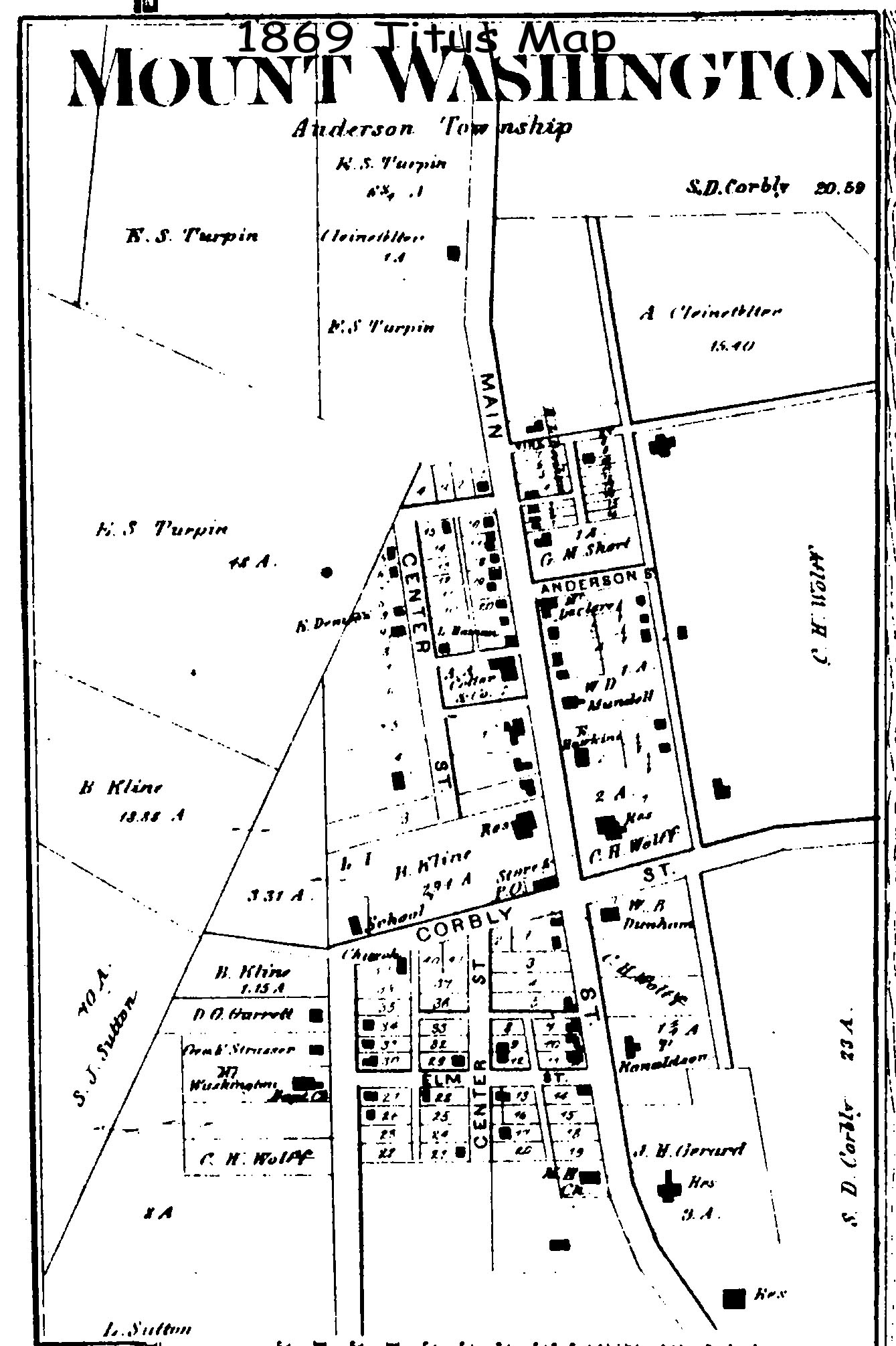
1869
Titus Map of Mount Washington Anderson Twp |
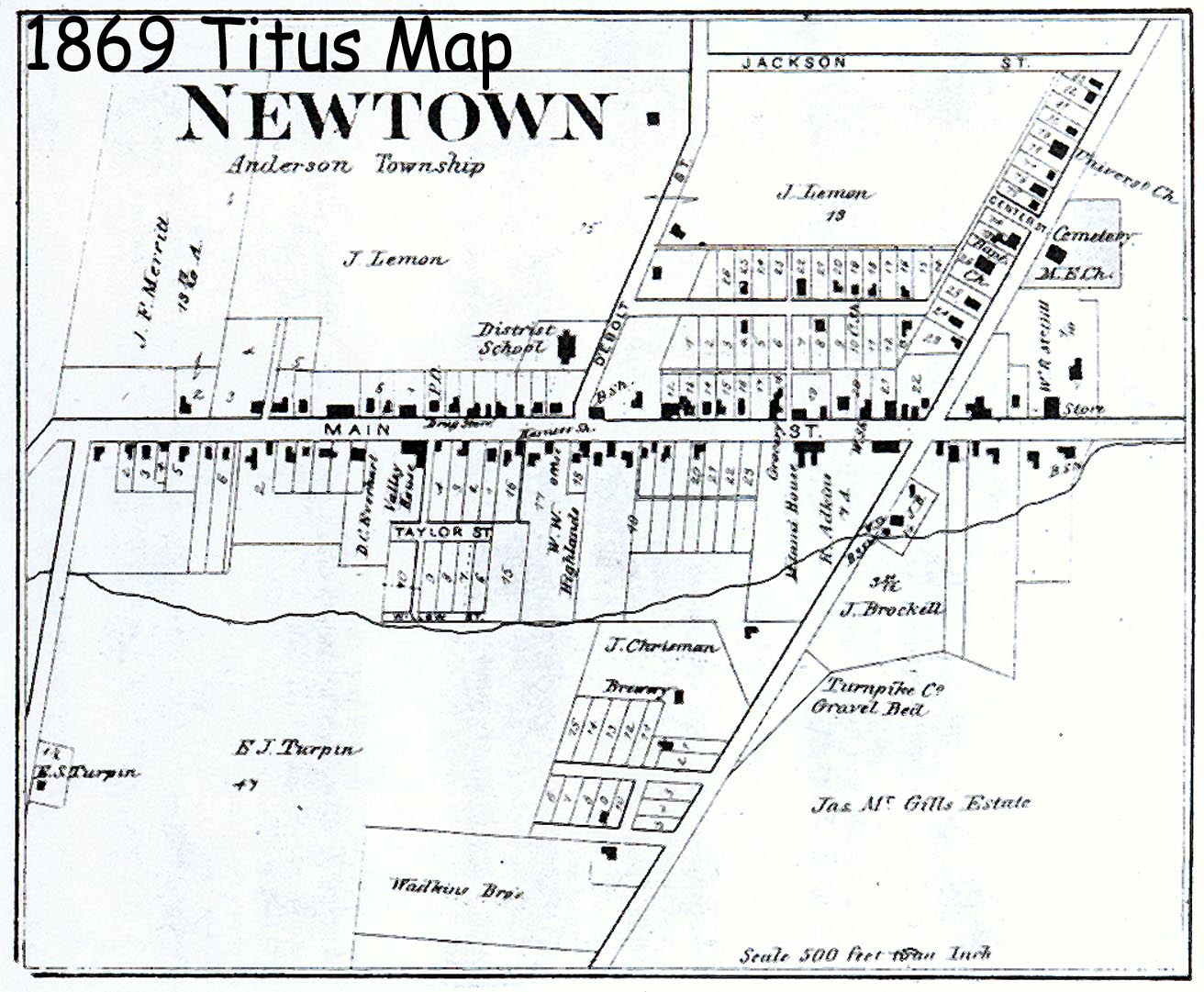
1869
Titus Map of Newtown Anderson Twp |
| submitted by Pattie Graman | submitted by Pattie Graman | submitted by Pattie Graman | submitted by Pattie Graman |
|
|
|||
 |
 |
 |
 |
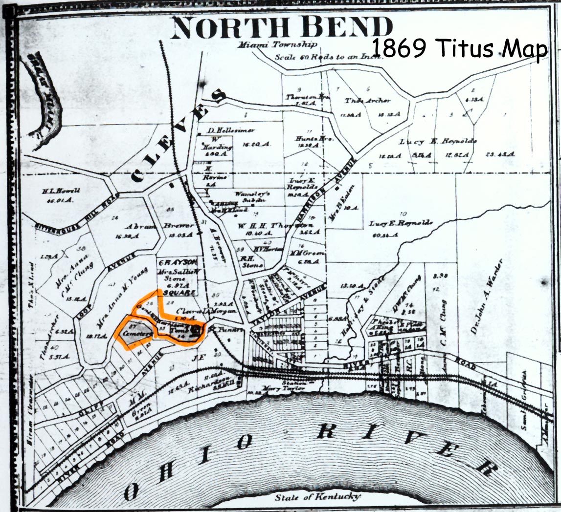
| 1869
Titus Map of North Bend Miami Twp |
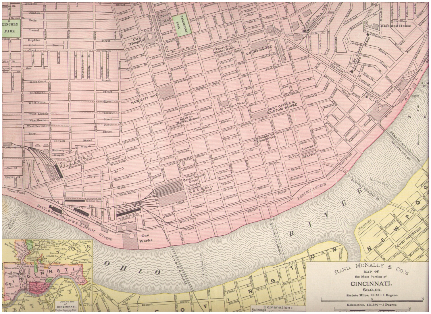
1895
"Main Portion of Cincinnati" PDF version |
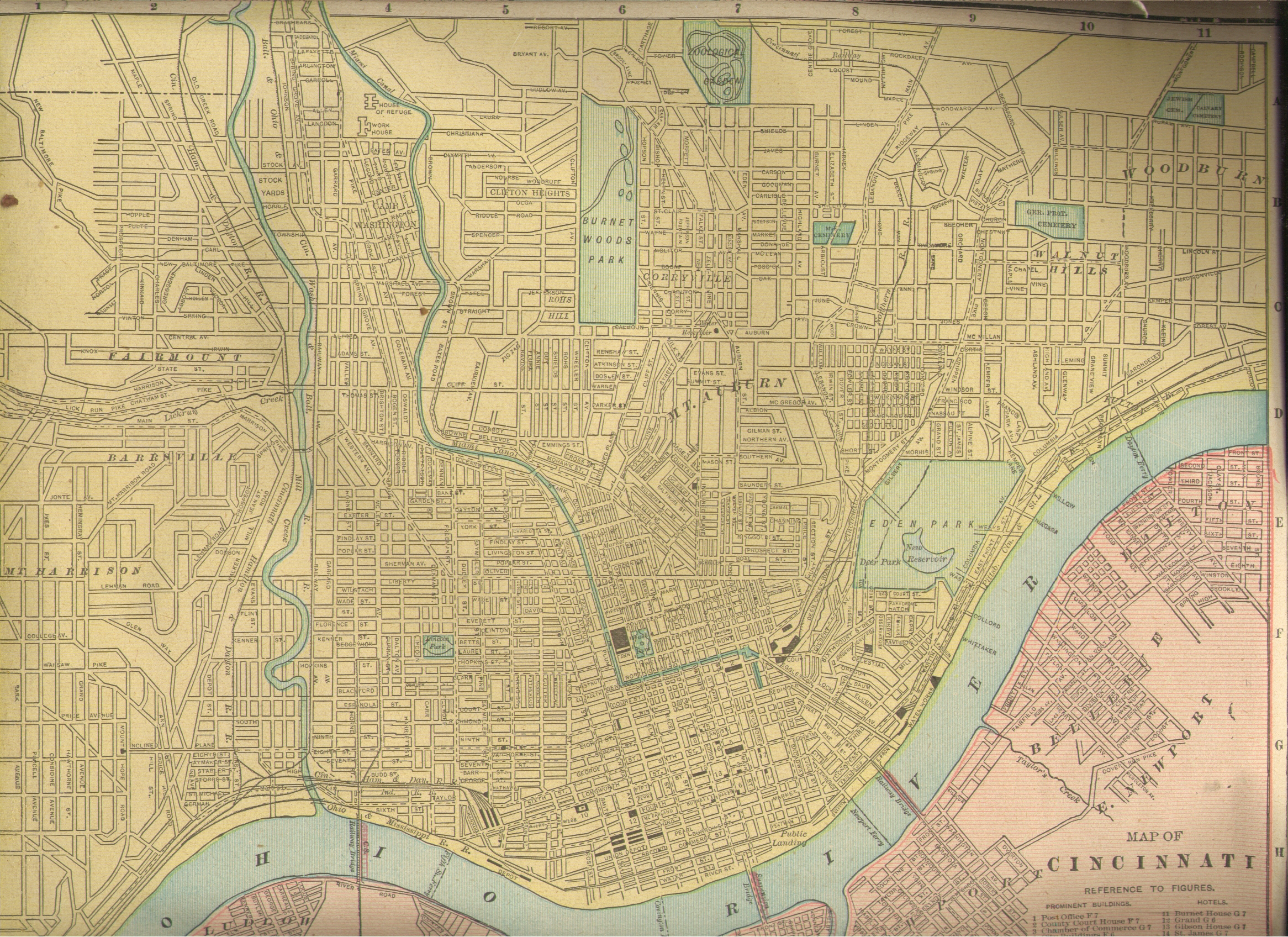
1899
Cincinnati PDF Version |
1904
Cincinnati & Vacinity PDF Version |
| submitted by Pattie Graman | contributed by Joan Asche | contributed by Joan Asche | contributed by Joan Asche |
|
|
|||
 |
 |
 |
 |
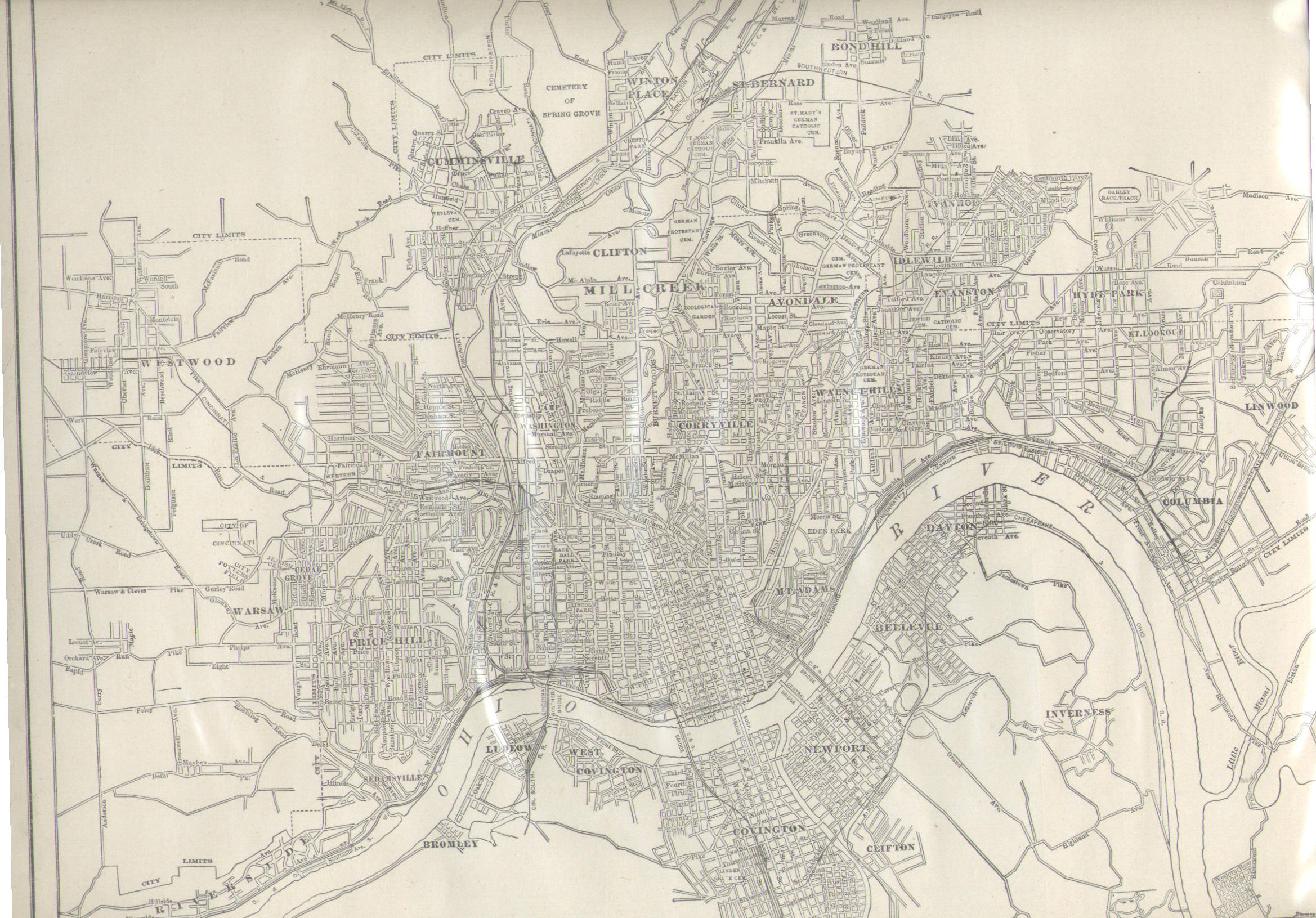
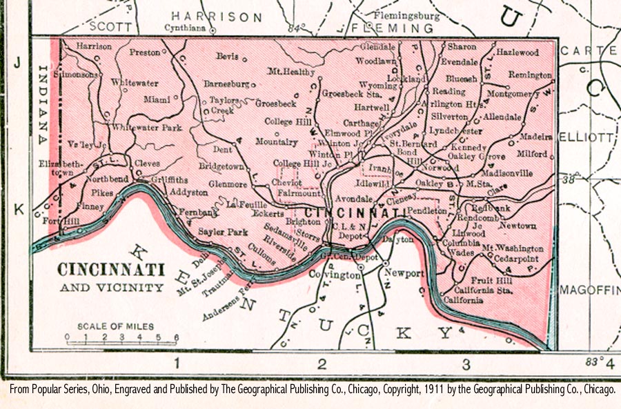
| 1911 Cincinnati & Vacinity | 1924
Cincinnati PDF Version |
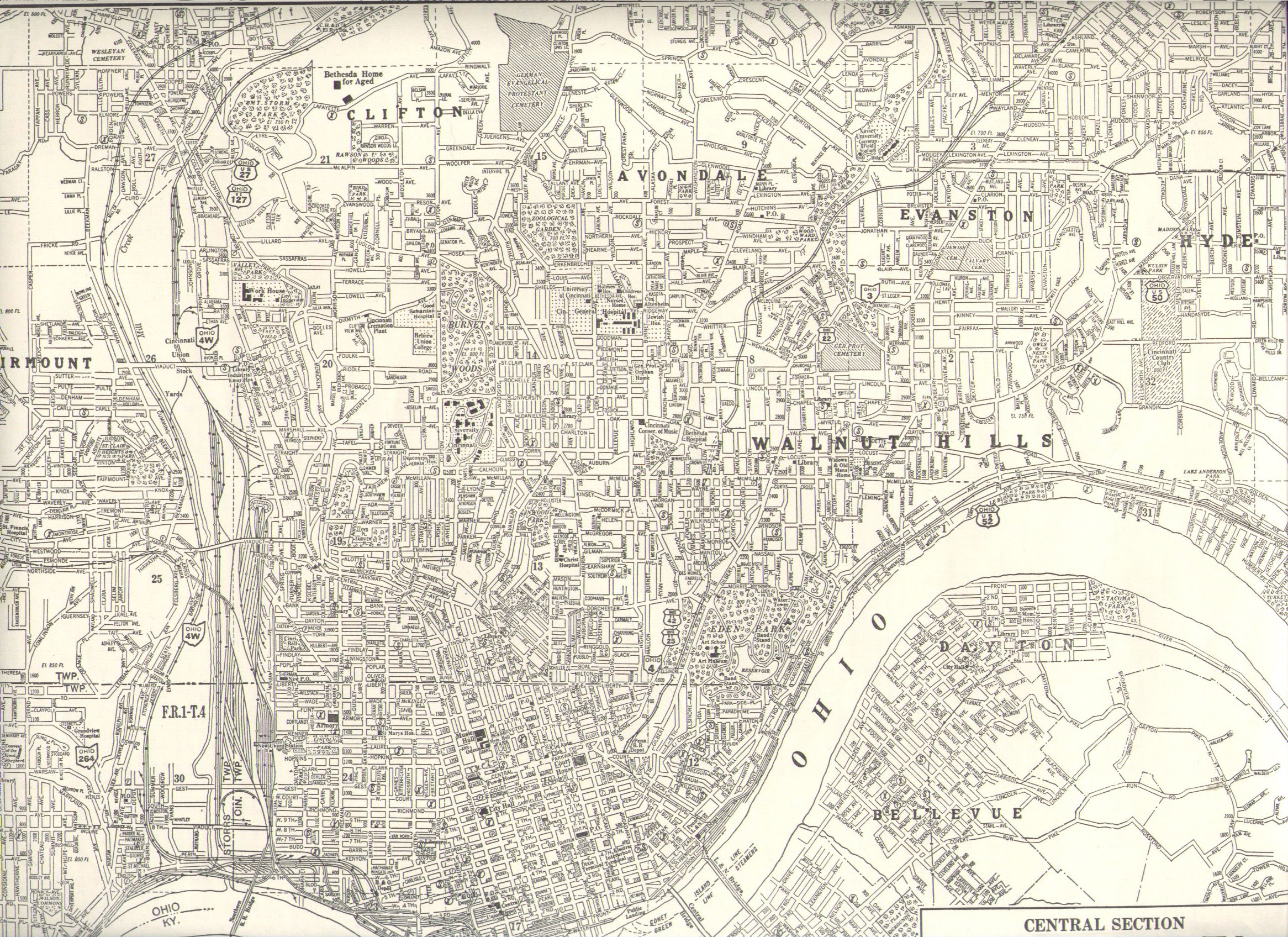
Cincinnati
ca
1930 PDF Version |
1935
Cincinnati PDF Version |
| contributed by Joan Asche | contributed by Joan Asche | contributed by Joan Asche | |
| Maps
found elsewhere (not on this website, use your back button to return here) all links checked 5/4/08 |
Back
to:
Hamilton
Co., OH Main Page
This page was last
updated
Sunday, 16-Feb-2020 13:17:43 MST