Maps, Map Links and Aerial Photos

Maps, Atlases and Aerial Photos

"The first Native Americans followed the animal trails..
the pioneers walked the Native American trails..
the settlers rode the pioneer trails..
the roads and highways were built on the tracks of the settlers."


Note that on the 1822, 1823, 1826 & 1836 maps that Louisa, Ky. is placed on the Little Sandy River, rather than on the Big Sandy River (where it's actually located).
Any traveler using these maps would have ended up in the middle of uninhabited woods, 30 miles west of his intended destination ;>)

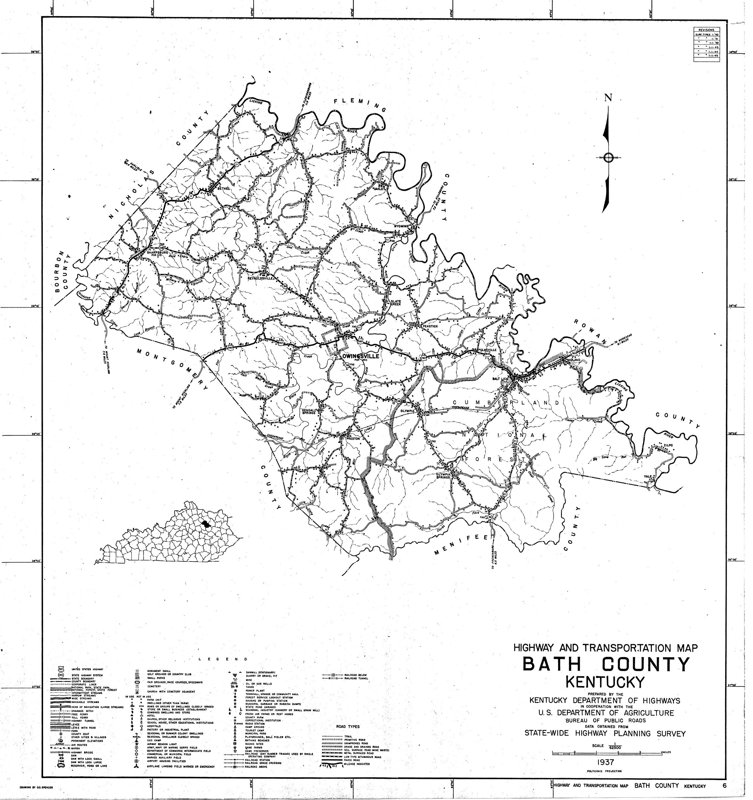
Olive Hill celebrated its centennial in 1961, although it appears on maps as early as 1845.


It may be helpful in viewing these maps to set your browser to a zoom setting of 125% or higher

  • Indian Villages, Camps and Trails in the Virginia Military District
  • Early Buffalo Trace - Warriors Path map
  • 1750-51 Christopher Gist map
  • 1753 John Patten map
  • 1754 J. Gibson map
  • 1754 Thomas Jeffreys map
  • 1754 George Washington map
  • 1755 Lewis Evans map
  • 1755 Mitchell map
  • 1755 Anonymous map
  • 1755 map of Lake Erie to the Ohio River, created by an Indian named Chegeree
  • 1757 Pierre Pouchot map
  • 1762 J. Gibson map of "Pensilvania, Virginia, Maryland and New Jersey"
  • 1766 Maps of the Ohio Valley area
  • 1766 Gordon map
  • 1766 Thomas Hutchins map
  • 1771 John Gibson map
  • 1773 Map of the Ohio Valley and Tygarts Creek area
  • 1774 Samuel Dunn Map of the "British Empire in America" (subsection)
  • 1778 Thomas Hutchins map
  • 1783 William Darton Map
  • 1783 Subsection of the J. Cary Map
  • Ohio River Navigation, 1783 - 1824
  • 1784 John Filson Map (Northeast Ky)
  • 1784 John Filson Map (full image)
  • 1794 Robert Laurie Map
  • 1795 Elihu Barker Map
  • 1796 Reid Map
  • 1796 Collot - George Henri Victor Map
  • 1797 Elihu Barker Map
  • 1804 Kentucky Map
  • 1812 Lewis Map
  • 1812 Melish Map
  • 1814 Kentucky Map
  • 1819 Ohio River Survey
  • 1822 Carey Map
  • 1823 Tanner Map
  • 1826/1827 Finley Map
  • 1836 Tanner Map
  • 1836 roads/trails through the Carter County area
  • 1838 Bradford Map
  • 1839 Burr Map - "Louisa" is located near present day Grayson
  • 1839 Burr Map (2) - "Little Sandy" is located near present day Grayson
  • Early Grayson Survey Map (contributed by Joel Carter)
  • 1845 Morse Map - First appearance of Grayson and Olive Hill on any map
  • 1846 Mitchell Map
  • 1854 Kentucky Geological Survey Map of Parts of Greenup, Carter and Lawrence Counties
  • 1856 Colton Map (Carter County extends to the Big Sandy River!)
  • 1859 Joseph Lesley Map of Eastern Kentucky Map
  • 1860 Mitchell Map
  • Undated early Cincinnati-Covington-Newport
  • 1861 Campbell Map
  • 1861 Hall Map
  • 1862 Loyd Map (maybe there was a trail from Upper Tygart to Poplar Plains)
  • 1863 Swann Map
  • 1865 Ruger Map
  • 1874 Asher Map
  • 1874 Amendment to the Grayson city boundry (not a map, but..)
  • 1875 Cram Map
  • 1876 Kentucky Geological Survey Map of Parts of Greenup, Carter and Boyd Counties
  • 1877 Eli Hayes map of the Portsmouth - Northern Kentucky area
  • 1878 Ormando Willis Gray map of the Carter County region
  • 1880 Mitchell Map
  • 1881 Railroad Map
  • 1881 US Army Corps of Engineers Ohio River Map
  • 1883 Consolidated Railway Map
  • 1884 Cherokee Nation of Indians Cessions
  • 1890 Native American Lingistic Map
  • 1891 Hoeing Map
  • 1895 War Department Map (Carter County Region)
  • 1895 War Department Map (full image)
  • 1897 Ohio River to Ironton (part 1)
  • 1897 Ohio River to Ironton (part 2)
  • 1909 George Franklin Cram Map
  • Olive Hill 1920 Map
  • Olive Hill 1928 Map
  • Carter city August 10, 1934
  • 1937 Bath County Map
  • 1937 Grayson Map
  • 1940 Election District Map \ (Excellent map!)
  • 1940 Carter County Election District Map
  • 1950 Olive Hill, Grayson, Charlotte Furnace and Big Sinking Quadrangle Topo Maps
  • 1950's Carter County Post Offices (all but 3 are closed now) Submitted by Joel Carter
  • 1961 Shell roadmap of the Carter County - Eastern Kentucky region
  • 1960's aerial photo of Grayson area Contributed by George Wolfford, from his book "Carter County, A pictorial history".
  • 1967 Grayson Reservoir Map
  • Late 1960's or early 1970's Aerial Photos of Carter County
  • 1981 Laural Cave map
  • 1999 Kentucky Department of Transportation Map
  • 2000 Grayson street map
  • 2000 Grayson street map (Large scale)
  • 2010 "Election District Maps" - more useful as stream and road identification
  • ca2015 Olive Hill (west and central))
  • ca2015 Olive Hill (east))
  • Kentucky Department of Transportation interactive maps. Great for finding distances.
  • University of Kentucky Togoraphic Map Showing Carter County Stream Names (you may wish to save this to your hard drive for faster access)
  • 1999 Mason County, Kentucky map
  • 1851 Map of John's Creek, Pike Co., Ky.
  • 1880 Map of Wilson County, Kansas (Reuben Truman Ross of Carter County, Ky.)
  • Map of Harrisonburg, Virginia (2012)
  • Maps of Huntsville, Randolph County, Indiana
  • Map of Antigo, Wisconsin
  • Map of Norwich Township, Franklin Co., Ohio, 1872
  • Wyoming Precinct, Bath County, Kentucky
  • Kentucky County Formation Maps
  • MapQuest: street maps and AERIAL maps too!

  • 1884, Fleming & Bath County, Ky maps

  • Map of the Ohio River Locks and Dams
  • Ohio and Erie Canal maps

  • Map of Underground Railroad trails - 1830 to 1865
  • Map of the distribution of slave holding territories in 1860

    Kentucky Geography Search

    Enter a placename and see where it is